I often have two datasets that are obviously not georeferenced correctly. Most of the time a simple translation (shift by x/y) could fix this.
Is there an easy way to do this e.g. by specifying one or two reference points in the reference raster and the raster that is to be corrected?
Is there a simple WYSIWYG-approach (e.g. in ArcMap) to manually/visually reference one dataset with some points to another and perform the transformation?
This seems like such a basic and straightforward task, that I think a tool should exist for it, but I know of none amongst the several tools at my disposal (ArcGIS, QGIS, R, Python, GDAL, ...).
I am aware of Shift Raster (Data Management) in ArcMap, but it requires known X/Y coordinates for the shift and doesn't work on vector-datasets. A workaround would be to extract coordinates of the two points, manually calculate the shift, and then use it with the tool. I'm hoping for something more elegant though.
I also found Transform Features (Editing) in ArcMap, which is fine but this too is restricted (only feature datasets) and circumstantial (as far as I understand one has to create features to represent the transformation).
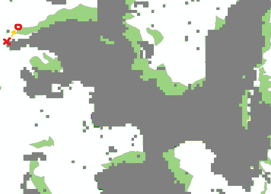
E.g. for the data below I know that the green dataset is positioned right. Therefore I'd like to perform the translation represented by the yellow arrow (x -> o) on the complete grey raster data (and actually two other datasets as well). I'd love to be able to do this by just clicking at those two points and then on "shift".

