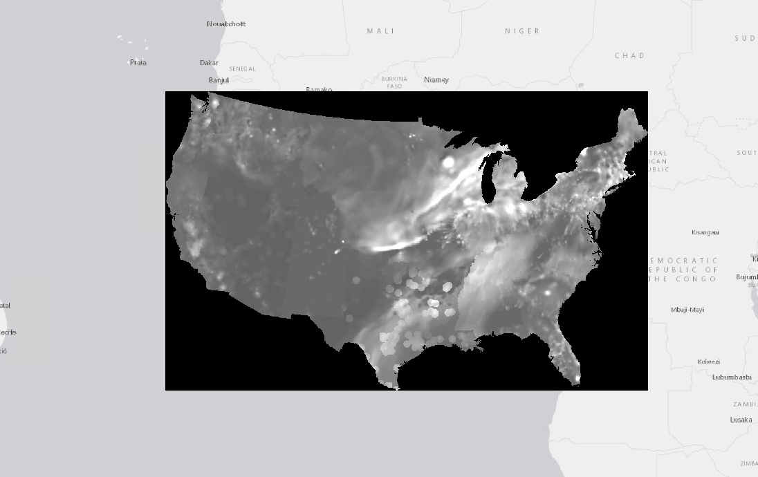
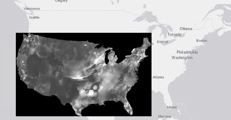
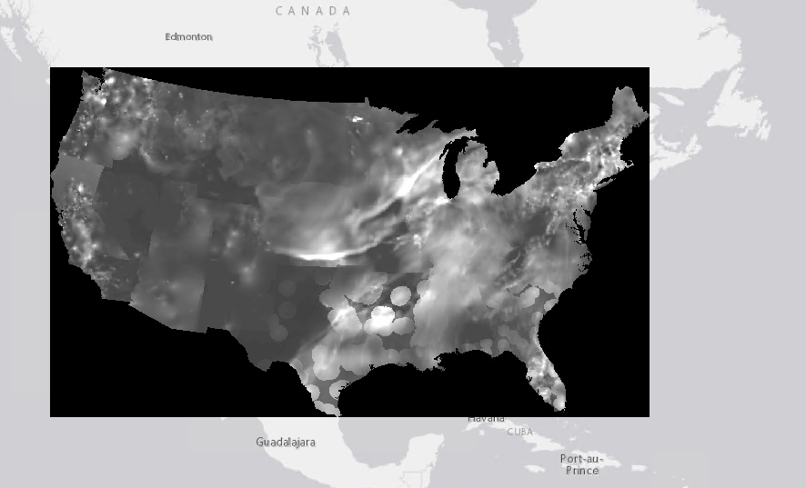
I have a raster data set I imported to ArcGIS from a netCDF file. ArcGIS doesn't read the projection or extent correctly due to issues with the input file. However, I have the correct values for these parameters. Using the Define Projection tool, I am able to set the coordinate system without issue. However, the raster appears in the wrong place on the map (centered at (0,0)).
I am looking for an ArcPy tool that would allow me to define the extent of the raster manually in the same way that I can define the projection using Define Projection.
What I have tried:
- I can manually edit the extent in the properties window. However, I need to update the extent for 100s of these files, so need a scriptable/arcpy solution.
- I looked at the Set Raster Properties tool. Although the Get Raster Properties tool can access the extent values (Top, Left, Right, Bottom), it does not appear that Set Raster Properties allows the extent properties to be modified.
- The Shift tool alone won't work because the dimensions of the raster need to be adjusted in addition to location.
Edit:
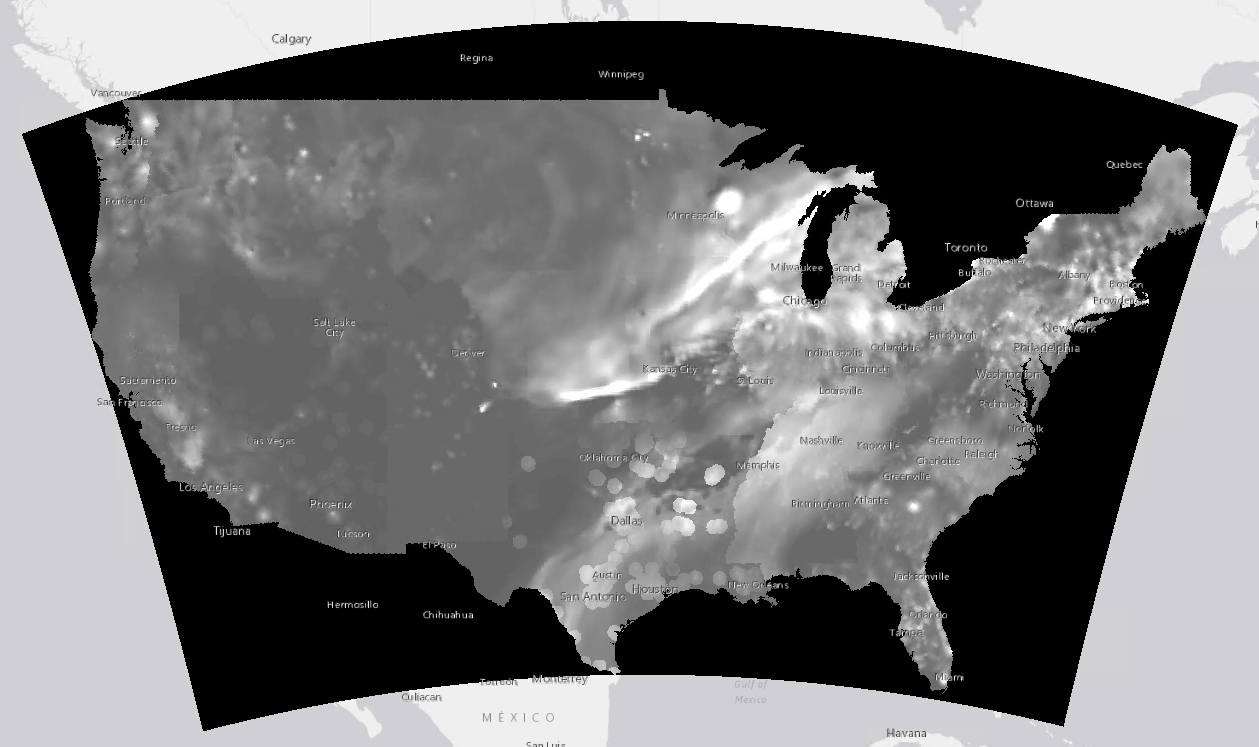
I was using the wrong projection definition. When I use the right one, the map is displayed in the correct location. Among other clues, a curved Canadian border on a Mercator projection (ugg) is pretty obviously wrong, in retrospect.


