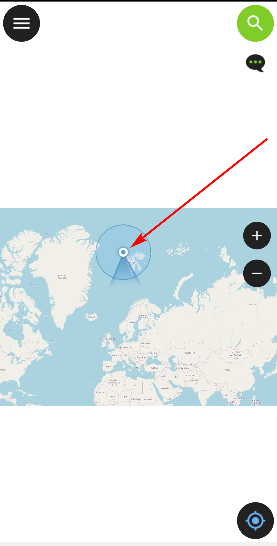
I created a project in QGIS with project CRS in EPSG:3857, packed it for Qfield with Qfield Sync plugin and saved it to my Android device. When I open the project there with Qfield and activate GPS, my position shows in a completely wrong place: northwest of Svalbard islands somewhere in the Ocean (see first screenshot below). I am, however, in Zurich, Switzerland.
Using other apps (like OsmAnd) on the same phone with same GPS receiver, I get the correct position. So the problem is obviously with Qfield.
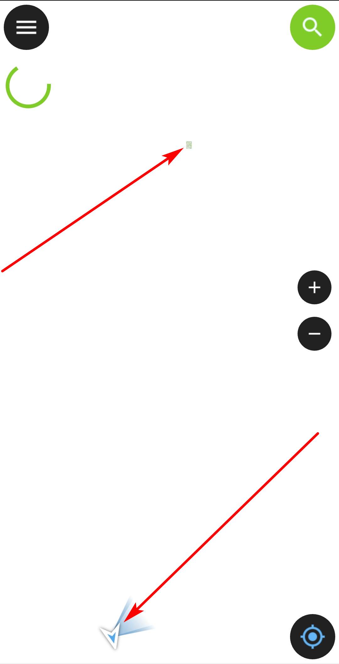
If I zoom to my point layer an then zoom out, I realise that the points are way off the OSM basemap: see second screenshot below. My region of interest shows up, GPS position is somewhere down. When I pan to the GPS position (blue dot), I have to heavily zoom in to see the dynamic OSM basemap. So my point layer + the saved static raster basemap is completely wrong as concerns position and scale. So the problem seems to be connected with this one here.
I have no clue what went wrong. How to solve the problem?
My position as it appears when activating GPS. Zooming in to the blue dot does not help:

Region of interest with the static raster OSM basemap, saved as gpkg file by the Qfield Sync plugin on the upper part; my position (blue dot) at the lower part. The dynamic OSM basemap (XYZ tiles) does not show as it is zoomed out too much:

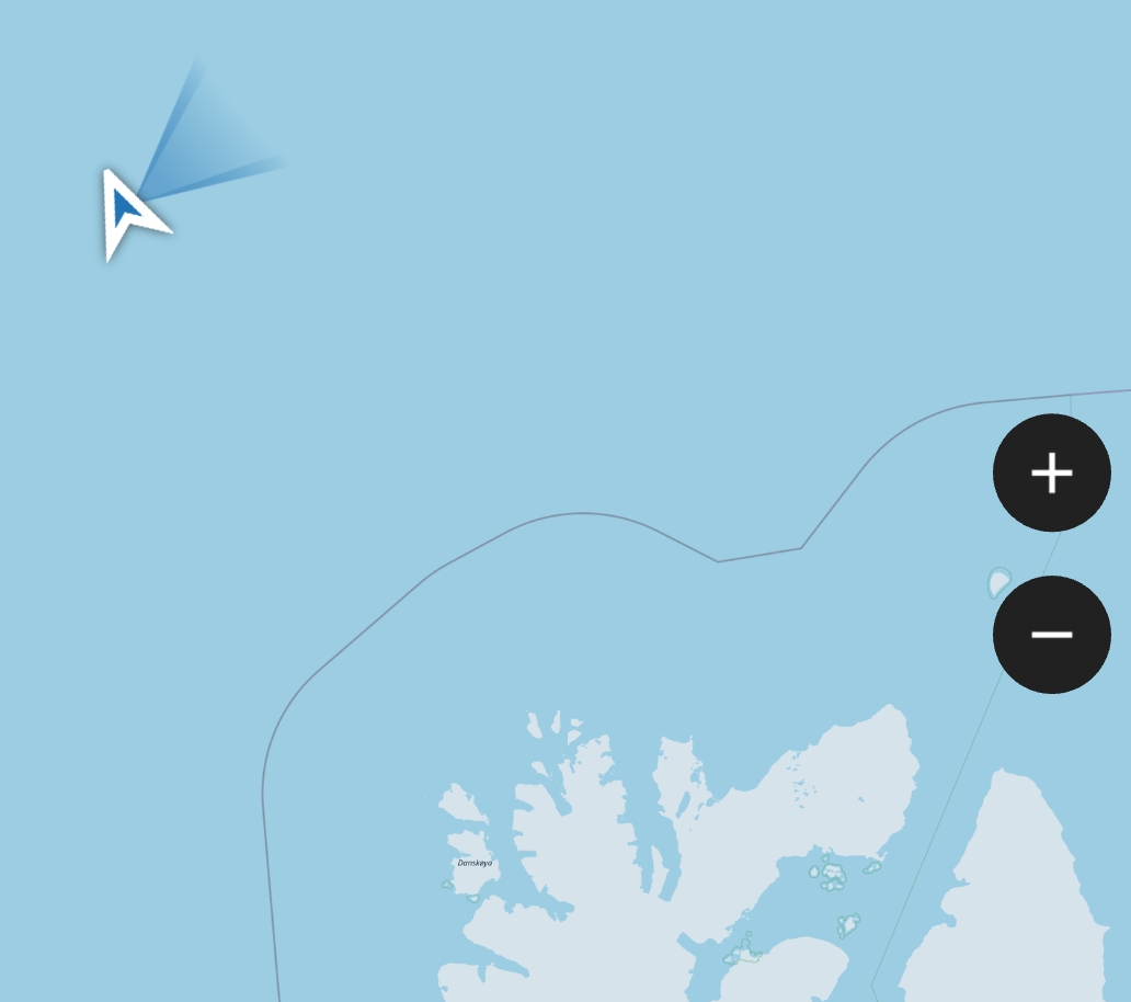
Zooming in the the GPS position does not solve the problem - it still shows a location NW of Svalbard:

