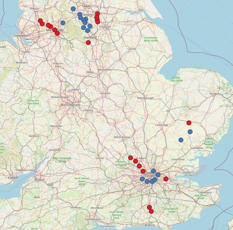
I have 2 data sets that I need to measure the distance between using road lines:

In this example I want to connect the red points to their nearest blue point.
Whilst this is easily done with a single end point I have been trying to figure out a way for it to find its the nearest blue point and show a road line route to it.
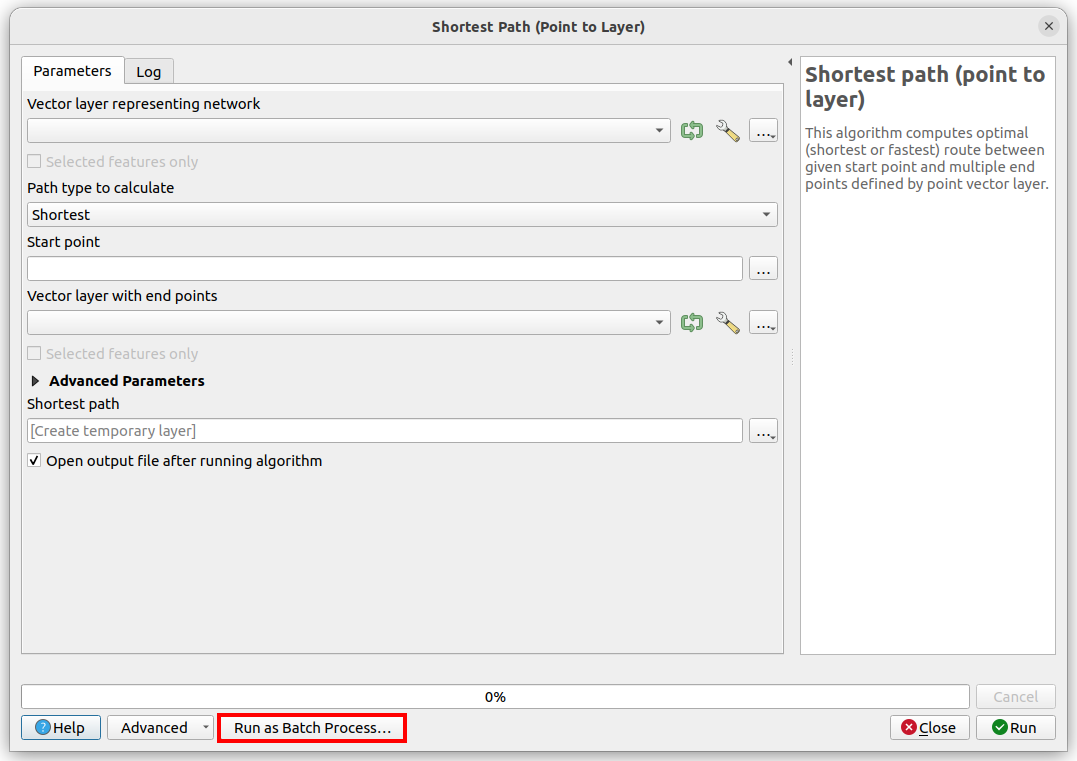
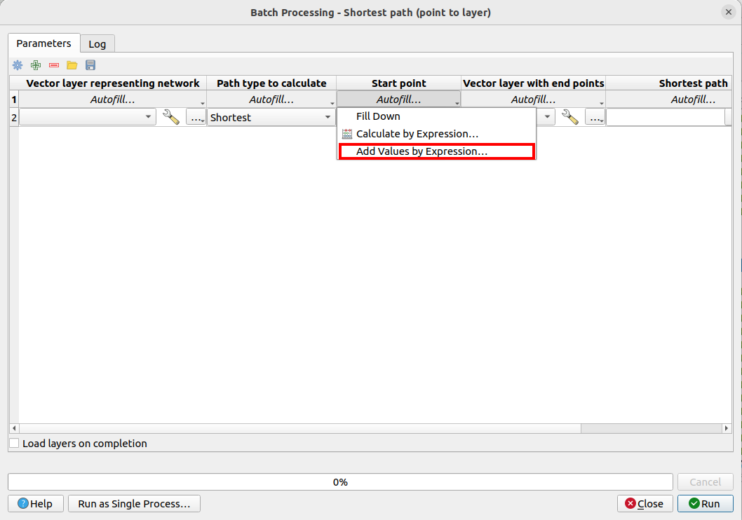
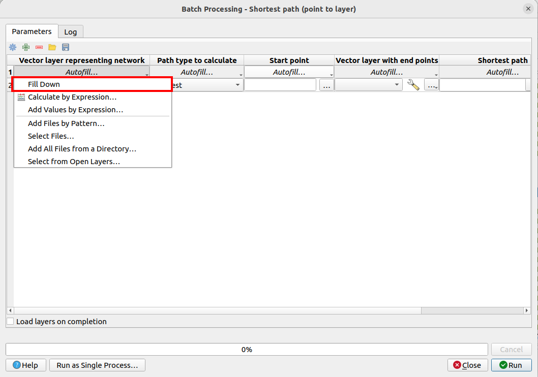
Using the "Shortest path" tool combined with OSM maps works but you must manually select the end points this would be all red points to single blue point etc etc. I have been unable to find a method to doing this.
I have tried the plugin "ORSTOOLS" which seems to help in the sense that I can select the 2 layers and connect them however it is seemingly at random i.e not the nearest point. I have tried a plethora of filters and still no joy.
How can I achieve this?


