Solution
You are using the Swiss national grid which exists in two versions:
- The coordinates in your layer are in the "old" style:
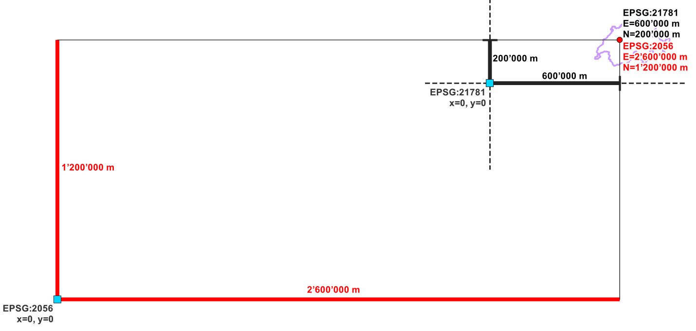
CH1903 / LV03, corresponding to EPSG:21781 ( fundamental reference point with coordinates x= 600'000, y = 200'000),
- You use the "new" style:
CH1903+ / LV 95, corresponding to EPSG:2056, where the same fundamental reference point has coordinate values x= 2'600'000, y = 1'200'000.
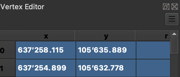
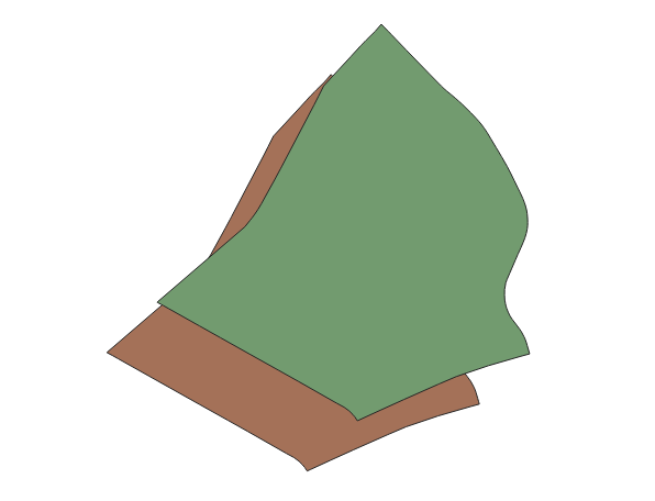
So with the coordinates you have, the layer should have EPSG:21781 as the CRS definition, but you have assigned EPSG:2056 and thus, the "missing" 2000 km on x / 1000 km on the y-axis. Either the CRS from your data source is not correctly recognized or you somehow manually "changed" the layer's CRS (don't do that!). Reload the layer or set the correct CRS to solve the problem (see below).
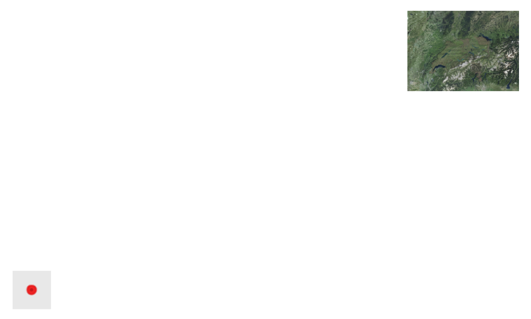
Schematic overview: coordinates in EPSG:21781 (black) and EPSG:2056 (red) for the same fundamental reference point (red dot), but with two (hypothetical) origins of the coordinate system (blue dots), both with value 0/0 in their respective CRS definition:
What caused the problem
The difference in the coordinate values has to do with the difference of older vs. newer coordinates that were introduced with an additional "shift" (false easting/northing) to get 7-digit coordinates instead of the older 6-digit ones:
Thus with LV95 the almost hundred-year-old coordinates defined in LV03
were replaced. The most noticeable difference resulting from this
change of reference frame was that the coordinates now comprised seven
digits instead of six. The value 2,000,000 was added to the
coordinates towards the east (E) and 1,000,000 m to the coordinates to
the north in order to distinguish them from the designations in the
old system.
See here for background on the Swisstopo website, the official
national authority that defines these coordinates.
How to solve the problem
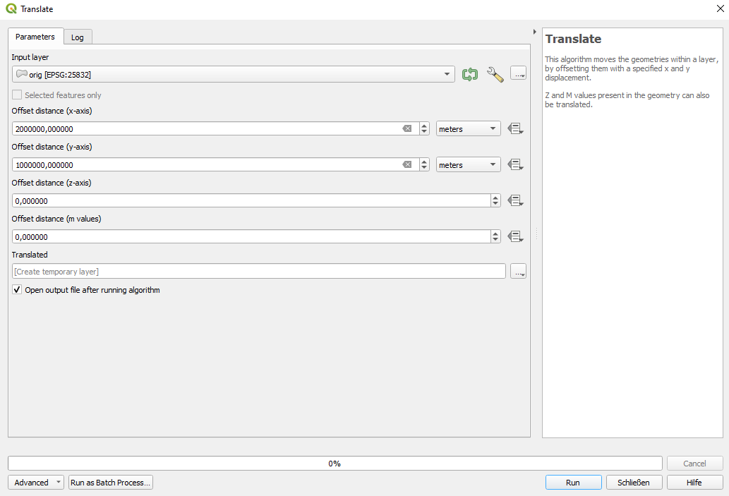
Your coordinates should not be shifted/translated. Rather use the appropriate CRS definition.
Normally, QGIS should automatically recognize the correct CRS and locate the points in the correct place because CRS info normally should be saved in the data source. If, for whatever reason, the CRS is not automatically recognized correctly (and only in this case), you should manually assign it : right-click layer > Layer CRS > Set Layer CRS. However, you should not do that if you're not 100% sure what you do - see here why.
Remark: Whenever you load a layer, you should first check if it is in the correct place (using a basemap). If you want to have the layer in another CRS, reproject the layer (don't set/change the layer CRS): either use Menu Processing > Toolbox > Reproject layer or export/save the layer with a new CRS definition.

