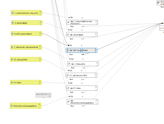
During the photovoltaic analysis using QGIS and the graphical modeler, the results are saved as shapefiles in a specific folder.
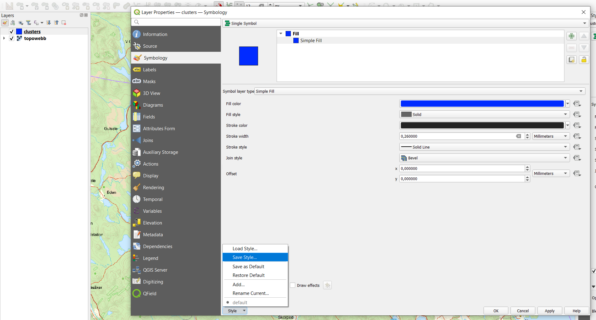
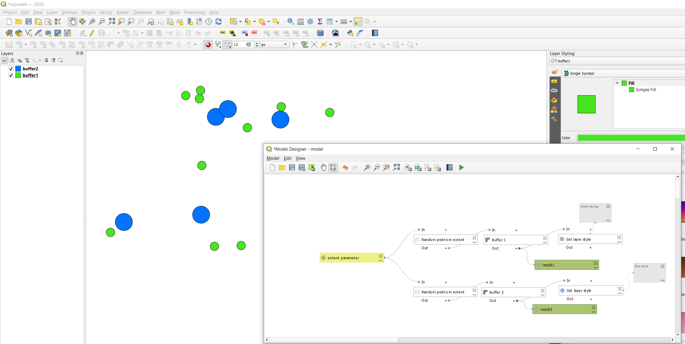
It is possible to assign a specific color to each shapefile within the modeler. For instance, lakes could be blue and forests could be green. Since the SHP are generated outside of a project I am afraid this is no possible.


