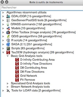
I haven't used TauDEM in Python scripts myself, but taking a quick look at the design it appears that it could be done fairly easily. I used the cheat of pulling the tool into Model Builder then exporting as a Python script to confirm. This is what I got just exporting the D-infinity Flow Directions tool with no variables set:
# Import arcpy module
import arcpy

# Load required toolboxes
arcpy.ImportToolbox("C:/Program Files/TauDEM/TauDEM5Arc/TauDEM Tools.tbx")


# Local variables:
Output_D-Infinity_Flow_Direction_Grid__must_be__tif_ = ""
Output_D-Infinity_Slope_Grid__must_be__tif_ = ""

# Process: D-Infinity Flow Directions
arcpy.gp.toolbox = "C:/Program Files/TauDEM/TauDEM5Arc/TauDEM Tools.tbx";
# Warning: the toolbox C:/Program Files/TauDEM/TauDEM5Arc/TauDEM Tools.tbx DOES NOT have an alias.
# Please assign this toolbox an alias to avoid tool name collisions
# And replace arcpy.gp.DinfFlowDir(...) with arcpy.DinfFlowDir_ALIAS(...)
arcpy.gp.DinfFlowDir("", "8", Output_D-Infinity_Flow_Direction_Grid__must_be__tif_, Output_D-Infinity_Slope_Grid__must_be__tif_)
Refer to the TauDEM tool help (which you've seen) to clarify the syntax, or fill in the fields in Model Builder and export it again to see where your inputs end up if you need as much help as I do sometimes.

