Abstract
I've decided to use PostGIS for a hobby game project. It requires a lot of units allocated on the surface of a planet. I'd like to model not only the units (simple points), but also their areas of effect (vision, firing range etc.) and the planet's terrain using spatial data and queries.
The problem
I'd like to have a few sampled layers for things like the plant density. I've done a few GIS exercises on my university and observed that raster representation was most commonly used for such data.
The proposed solution and question
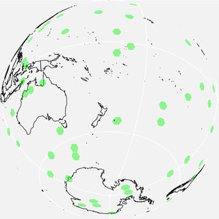
The problem with regular raster data is that it's best suited for smaller areas, which are almost flat, whereas I need a full sphere. I've learned about Geodesic Grid technique, which seems to fit my needs perfectly. However, I am not sure how to approach its creation and use in PostGIS. I've found this question, but it doesn't answer all of my needs.
In short, what I'd like to do is to create a model (with a chosen density) and define operations that would allow me to generate (fill in) the data in it, and then sample it back with some filtering.
Remark #1
I can imagine that some sort of clustering (variable density) models could be much more efficient in my scenario (some regions being much more important than the others, and thus needing more data). Would creating such a thing be much more difficult?
Remark #2
The Wikipedia article outlines the icosahedron tesselation procedure. I think I could implement it, but I am wondering if there are any caveats related.

