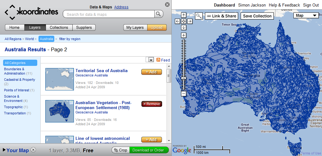
I already have basemap data. For that Bing Maps or OpenStreetMap are fine.
However, for demonstration purposes I need data for operational layers that I can throw on top of this.
It needs to be free, within Australia, and open for use.
For example:
- Flood Zone Data
- Historic bush fire data
- Historic weather data
- Census data
- Crime data
- Disease data
Are there other sources of Australian spatial data?

