I'm working with zoning data at the parcel level for a city, e.g., each parcel has a zoning attribute. My goal is to create a contiguous zoning map without intersections from roads and highways. I manually edited a portion of the city to show my intended result.
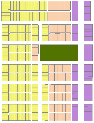
Here is a portion of my initial map:

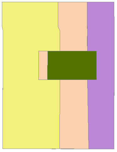
And here is a rough manual edit of how I'd like to dissolve the features and remove the gaps where the roads are:

Is there any geoprocessing that can achieve this result without manually editing the features to be contiguous?

