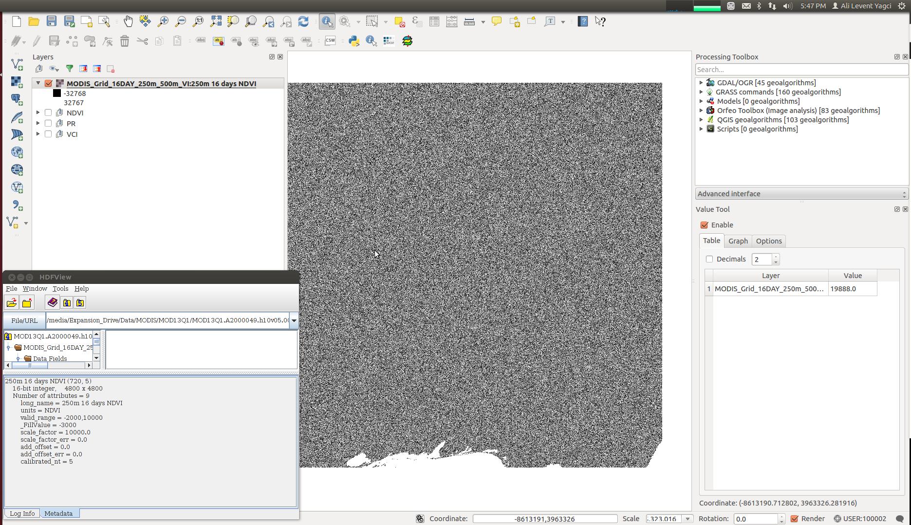
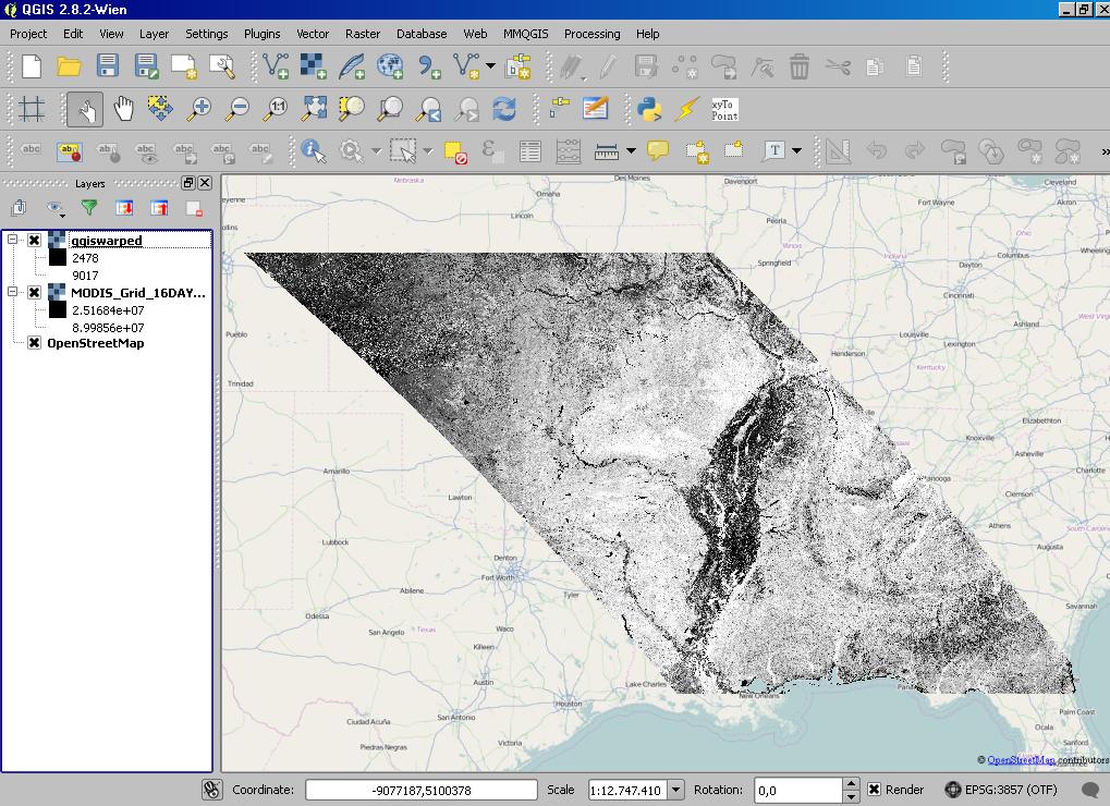
I opened a sub-dataset of an HDF file (NDVI layer of MODIS HDF file) in QGIS, but pixel values are beyond the valid range (-2000,10000). I see many pixels way less than -2000 and way over than 10000. There is something wrong here.
When I read layer into numpy array in Python, all pixel values between valid range, so everything is expected.
you can download the file here, MODIS hdf file Extract the first layer, NDVI, no=0.
information about QGIS version on Ubuntu 12.04 LTS: QGIS version 2.8.1-Wien QGIS code revision exported Compiled against Qt 4.8.1 Running against Qt 4.8.1 Compiled against GDAL/OGR 1.10.0 Running against GDAL/OGR 1.10.0 Compiled against GEOS 3.4.2-CAPI-1.8.2 Running against GEOS 3.4.2-CAPI-1.8.2 r3921 PostgreSQL Client Version 9.1.15 SpatiaLite Version 4.1.1 QWT Version 5.2.2 PROJ.4 Version 480 QScintilla2 Version 2.6.1


Value by which each array value is to be multipliedso the metadata entry seems to be wrong.