1

I geocoded a list of postal codes into the World Geocode Service and all of them matched properly, with the output file being put as the .gdb. The geocode result was then renamed and I saved it as a layer file. I saved the map previously, but my computer died. I then went to go re-load the program and map, but the shapefile was not under the .gdb, and the layer file was showing up with a missing reference.

Is there any way I can find the lost source files? I looked everywhere on the computer and could only find previous geocoded results in the same database. Would really like to find out as the file was quite large and took up quite a few service credits to geocode.

1
  • I think you would have to have saved the file somewhere. Search for CSV or DBF files on your system? Commented Dec 23, 2015 at 20:52

1 Answer 1

1
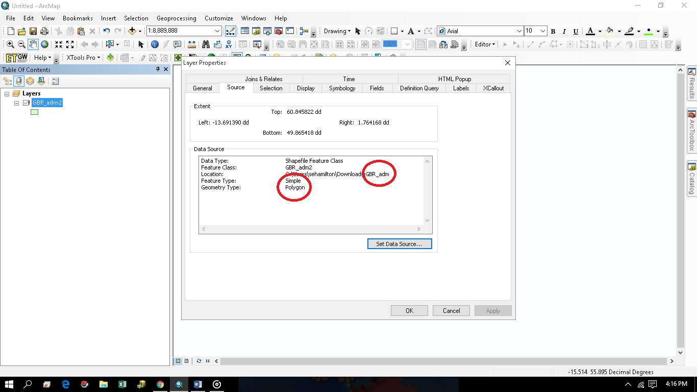
  1. Use your layer to file to see where it points and the name of the file it points to.

Right Click on the Red Exclamation point in the layer file > Properties > Then use this information to narrow down your searches.

enter image description here

  1. Check your working directory and see if it is in there.
  2. If is is a shapefile it could (well should) not be in a .gdb, open the gdb folder in windows explorer then see if it has a .shp in it.
  3. Search your computer for .shp, .gdb, and .csv and check everyone with arccatalog. Be sure to turn on hidden files or folders.
  4. Do not run it again but set it all up and see where the default output points.
  5. Buy a beer and think about the importance of backups, restart the process, we have all been there.

Your Answer

By clicking “Post Your Answer”, you agree to our terms of service and acknowledge you have read our privacy policy.

Not the answer you're looking for? Browse other questions tagged or ask your own question.