I'm new to the GIS world. I've read several sites and previous posts but couldn't find a satisfactory answer.
I have a data set of ~400k coordinates from Los Angeles and would now like to determine their respective neighborhood.
Lat            Lon
-118.4382362   34.2530534
(...)
What would be the best way to determine the coordinates neighborhood?
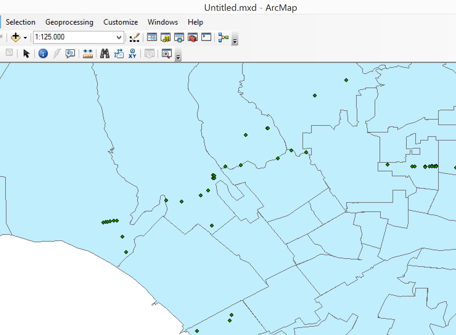
EDIT: I started working with ArcMap and plotted some test coordinates on a shapefile.
How would I now match the neighborhood names from the shapefile to my coordinate data? When I use the join function, it only counts how many coordinates occur in a specific neighborhood. However, I'd like to know the opposite i.e. the respective neighborhood name per coordinate pair.

