Is there a way to import the TAB file created for georeferencing of an image by Mapinfo into AutoCAD so I don't have to do all the georeferencing again?
-
What image type is in question (jpg, tif, ecw, etc...) and which version of Autodesk map ?– sys49152Commented Jan 9, 2018 at 12:55
-
Does it matter? They are PNGs and JPGs. Map is anything from 2015 to 2018. Unless there has actually been this added in it should be the same because Map never gets updated.– GPSJaneCommented Jan 10, 2018 at 8:45
Add a comment
|
1 Answer
Use MAPIINSERT command in Autodesk Map and browse for raster image.
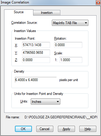
After that, Autodesk Map should automatically recognize present TAB file (it has to be with the same name as the image file) and it will be shown as a Correlation Source in Image Correlation dialogue:
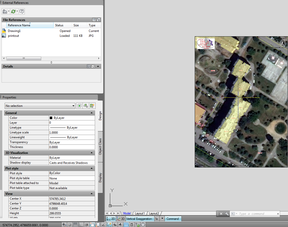
Check the units for insertion point and after that check the coordinates in Insertion tab. If everything is alright map will be displayed in the right position.


