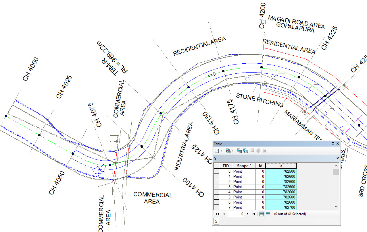
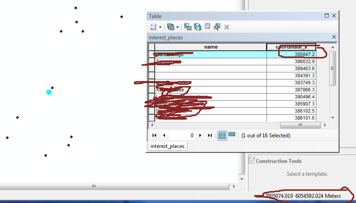
I calculated the lat, long in metres through the attribute table, and the values are very course (i.e., varying in +/-50m only).
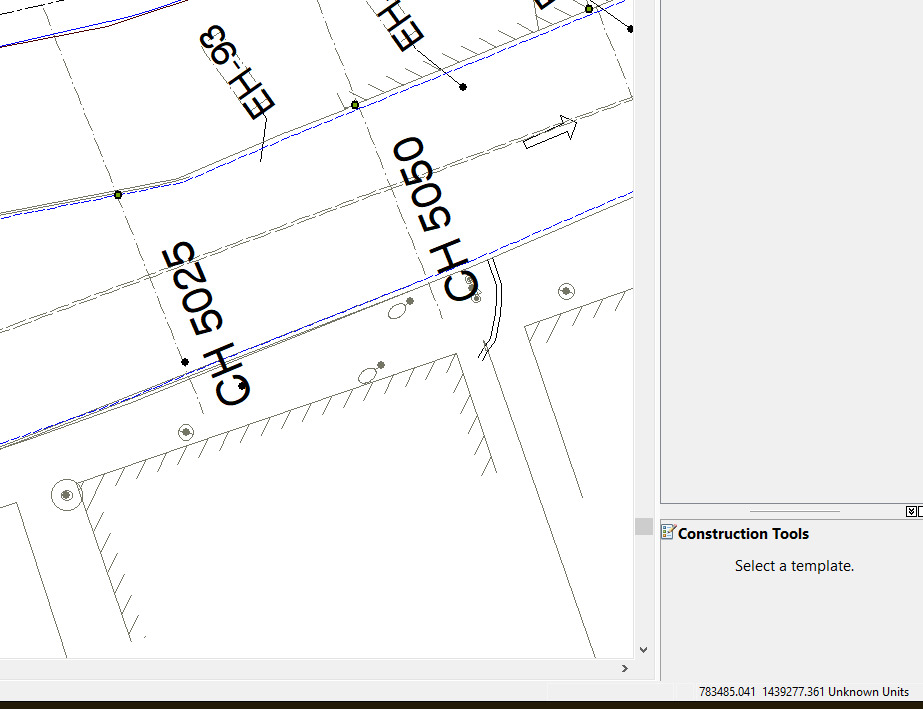
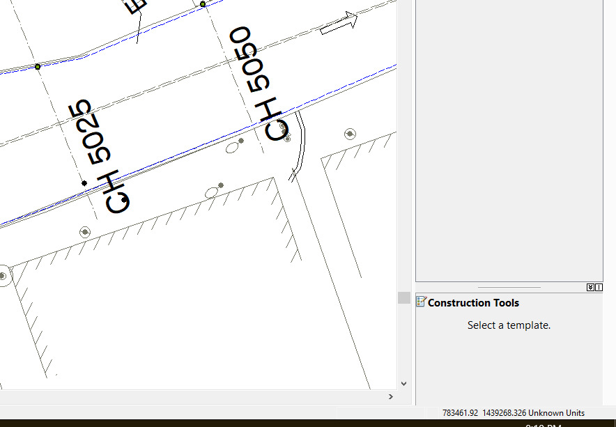
But, when I move the mouse cursor over the points, the lat long values are much finer (mm)
Example: It's varying in around 22 metres with x coordinate when I moved from 1 point to its immediate neighbor point, but it's not reflected in the attribute table.
Refer the screenshots in the attachments.
How can I tackle this?


