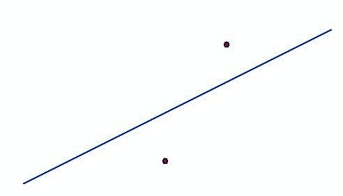
I have two shapefiles that looks something like this:
One point file and one polyline file.
I want to find the points where the points and line would intersect if you drew a perpendicular line between them (the shortest distance). The next step is to mark these points on the polyline or a rasterized version of the polyline, but first I need to find a way to define them.

