I'm trying to do a union between two Polygon Shapefiles, but when I do Vector > Geoprocessing Tools > Union I have the odd issue where most of it works fine, but some areas are returned in the union dataset as being a gap, but there is data there in both input files.
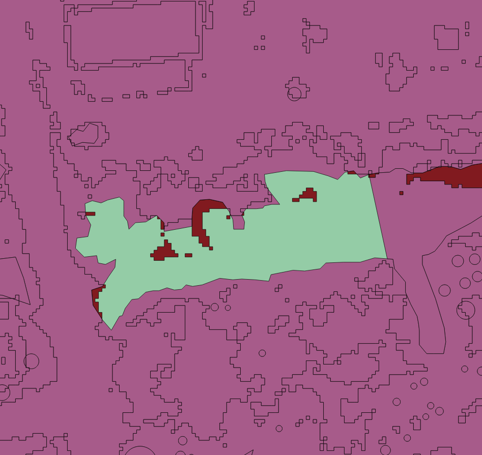
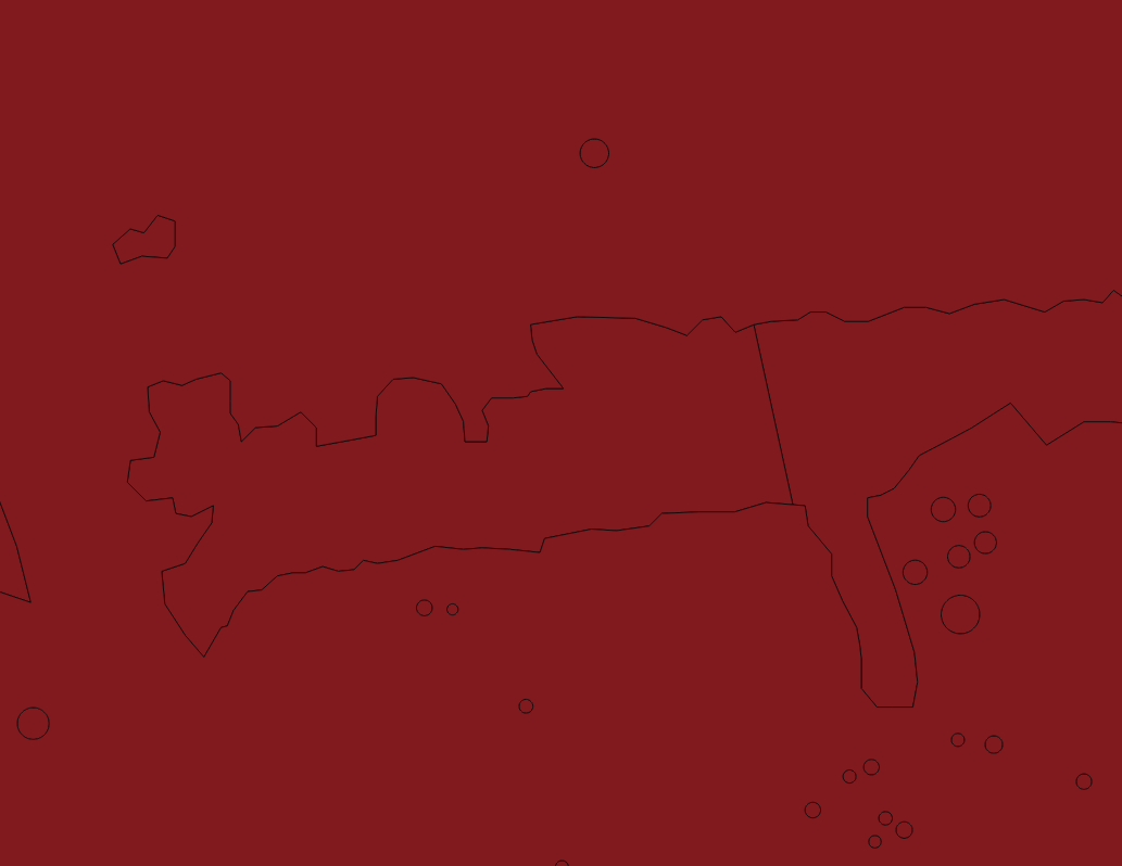
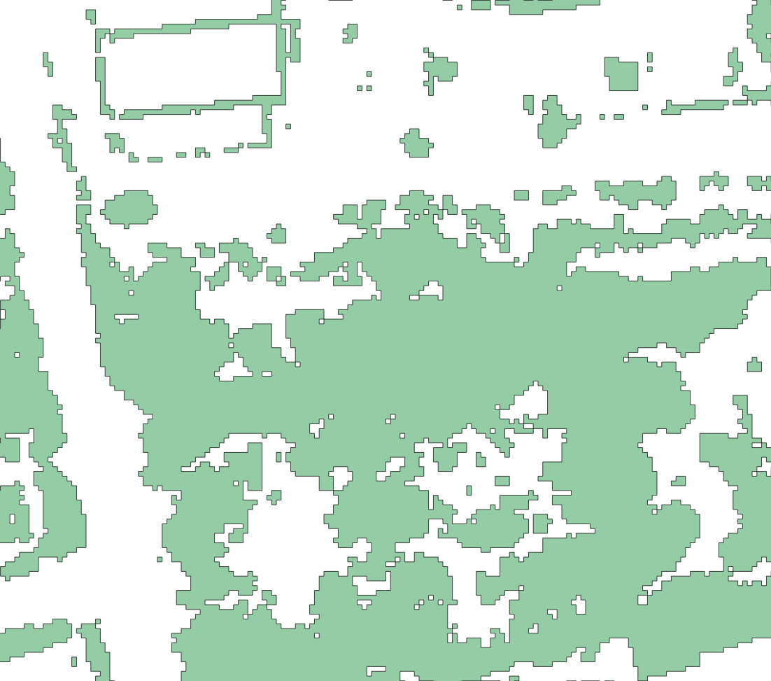
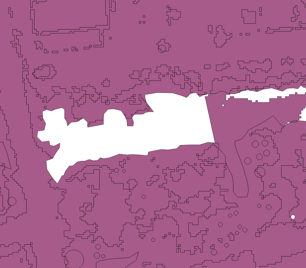
Here are some pictures to show you what I mean.
Union Output overlaid on the input layers:

To help identify the issue, they're both in the same CRS and are both Polygon format Shapefiles, and the geometry of the polygons in the input data where a gap is being created look fine under inspection.


