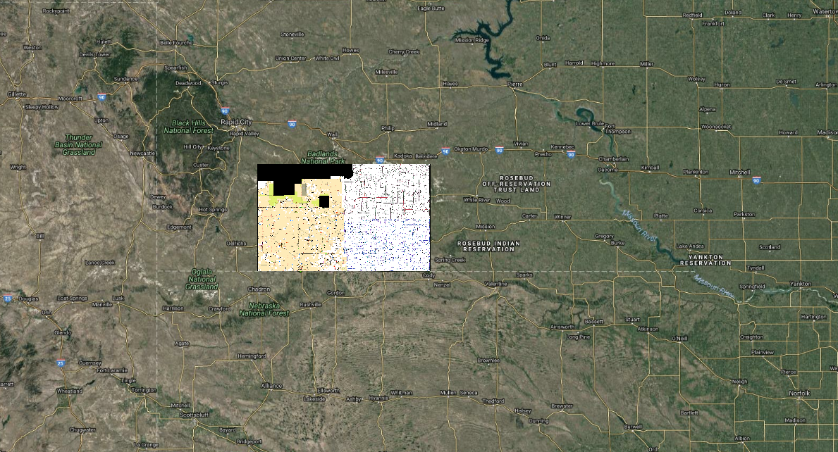
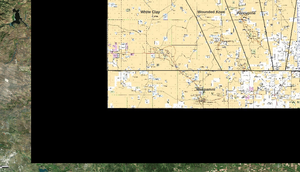
I manage a mapping system for the Pine Ridge Reservation in South Dakota and am trying to retrieve a raster layer but I keep getting this expanding black background/box.
When I open the mbtiles file in Qgis it looks fine but when I retrieve the file through ArcGIS either as a WMTS layer OR the Mapbox instructions for pulling layers into ArcGIS online of "Add > Add Layer from Web > A Tile Layer" there's black box around it that increases in size as you zoom-out.
See image.
Here's some relevant details about my data:
- The original file was converted from Geotiff to Mbtiles format in TileOven (active Linux fork of TileMill) and then uploaded to Mapbox and styled in map box studio.
- This is not a no-data border in the original geotiff. The original geotiff has only a tiny border that I'm not concerned about concealing.
- The original geotiff was created using GDAL processing tools in Qgis
- To convert the file from geotiff to Mbtiles in TileMill I used these instructions https://www.youtube.com/watch?v=05Et84xIgls
- I made certain I set extends in TileMill and ArcGIS online.
- I also tried uploading the Geotiff directly to ArcGIS online and the same thing happens.
- I'm using TileOven, QGIS 2.18 on Kubuntu 18.04 with KDE Plasma 5.12.6 Software
Here's the ArcGIS Online integration URL provided by MapBox https://api.mapbox.com/styles/v1/dbartecchi/cjlgwhz4704j02rldjapn5wzc/tiles/256/{level}/{col}/{row}@2x?access_token=pk.eyJ1IjoiZGJhcnRlY2NoaSIsImEiOiJPV0cyMW1NIn0.D5p-ioo0SzDujMVD77ZQIg
Here's the Mbtiles file opened in QGIS 2.18 looking exactly how it should look. 

