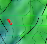
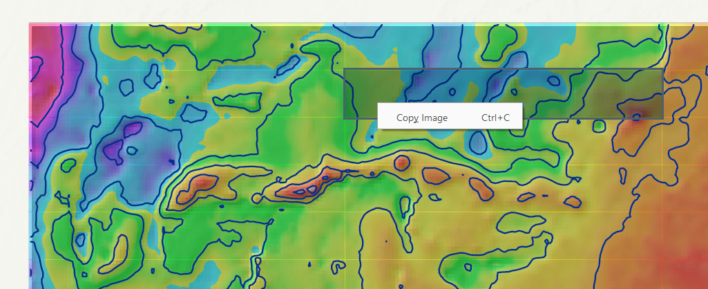
I am exporting map to pdf using ArcGIS Pro at 600 dpi resolution. The exported map is coming with some thin colored lines. I tried to export same map to png it appeared fine.
Am i missing something here regarding export settings for pdf ?
I have an interpolated raster these lines are reflecting the colors of that raster.
When i un-check that raster then it prints pdf fine.
I cannot include complete map screen shot but i am including the area where i dont have data. See the green lines in image.
When i select these blocks and right click i get the option to copy image. Seems like different small images have been stitched to generate this pdf.


