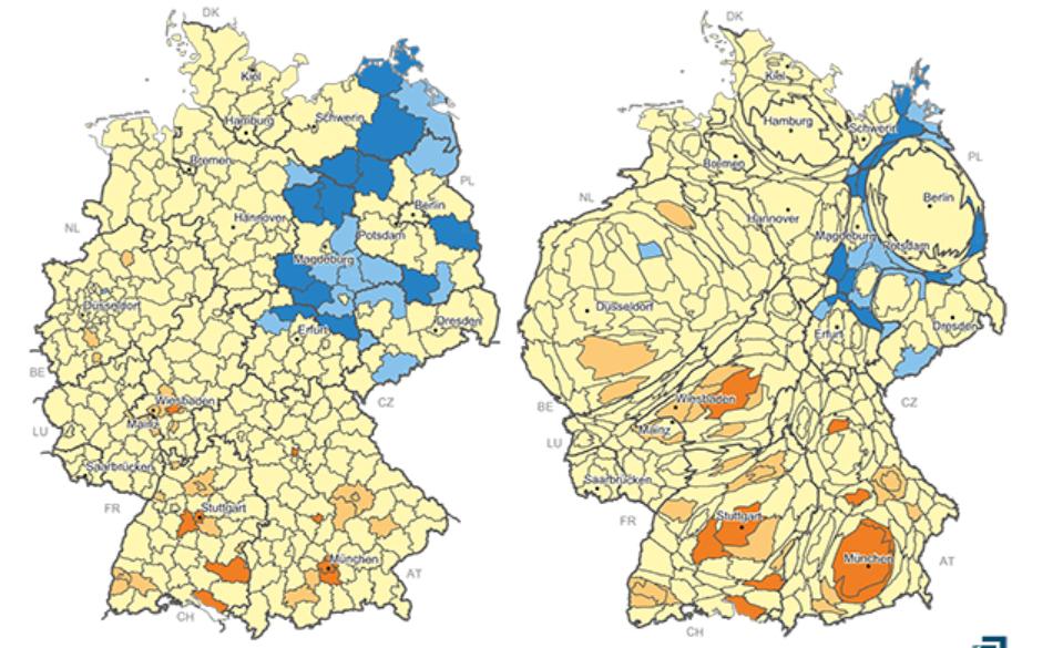
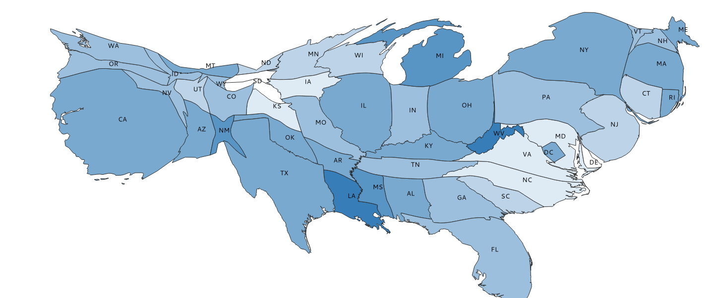
Is there a way to distort the size of polygons proportional to their population size (as in column in the attribute table)? I want to create a map that looks similar to this:
the cartogram2 plugin works with small datasets, but trying to make the same for all regional units in Germany (around 400) QGIS crashed with this report:
h2. User Feedback
h2. Report Details
Crash ID: a6e72007607c25de38558d32493d43e2f01c1ba4
Stack Trace
PyInit_sip :
PyInit_sip :
PyFrame_New :
PyObject_Call :
PyInit_sip :
PyInit__core :
PyCFunction_FastCallDict :
PyObject_GenericGetAttr :
PyEval_EvalFrameDefault :
PyObject_GenericGetAttr :
PyEval_EvalFrameDefault :
PyErr_Occurred :
PyFunction_FastCallDict :
PyObject_CallFunctionObjArgs :
PyObject_Call :
PyInit_QtCore :
PyInit_QtCore :
PyInit_QtCore :
PyInit_QtCore :
PyInit_QtCore :
QMetaObject::activate :
QThread::started :
QThread::start :
BaseThreadInitThunk :
RtlUserThreadStart :
QGIS Info QGIS Version: 3.2.1-Bonn QGIS code revision: commit:1edf372fb8 Compiled against Qt: 5.9.2 Running against Qt: 5.9.2 Compiled against GDAL: 2.2.4 Running against GDAL: 2.2.4
System Info CPU Type: x86_64 Kernel Type: winnt Kernel Version: 10.0.17134
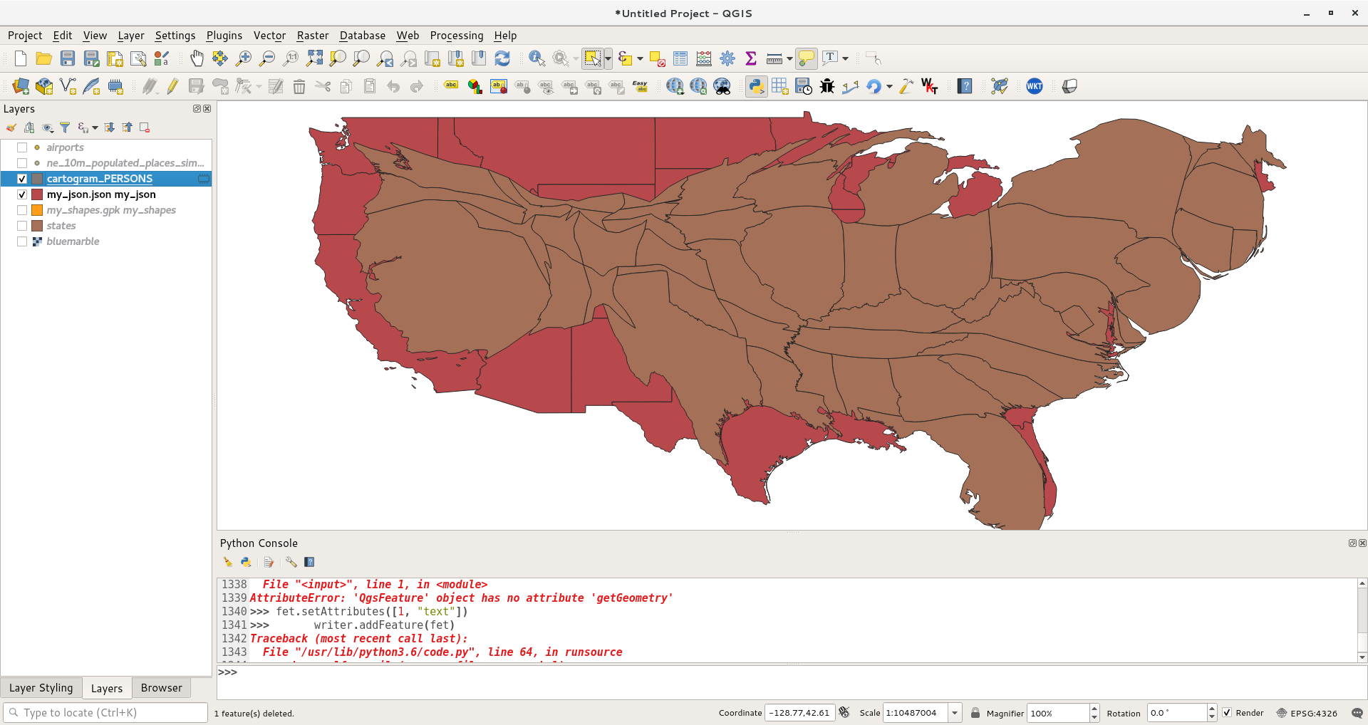
Update: When trying a different number of iterations than the default (10) in cartogram3 it works! I tried 5, 8 and 15. All gone well.


