This is my first time building a model from scratch, so let me know if I've omitted anything in describing this question.
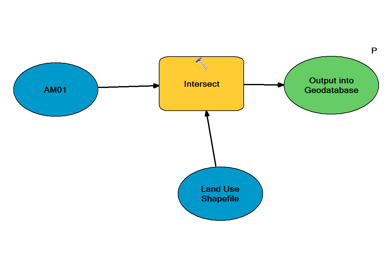
I have a geodatabase that contains shapefiles (polygons) of watersheds. I need to intersect each polygon with a shapefile (polygons) of land use. I can get the following to work, but only for one file at a time.
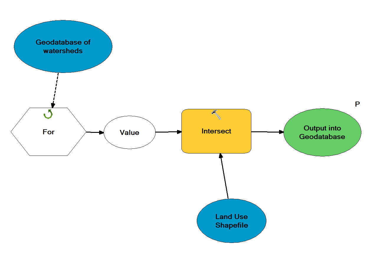
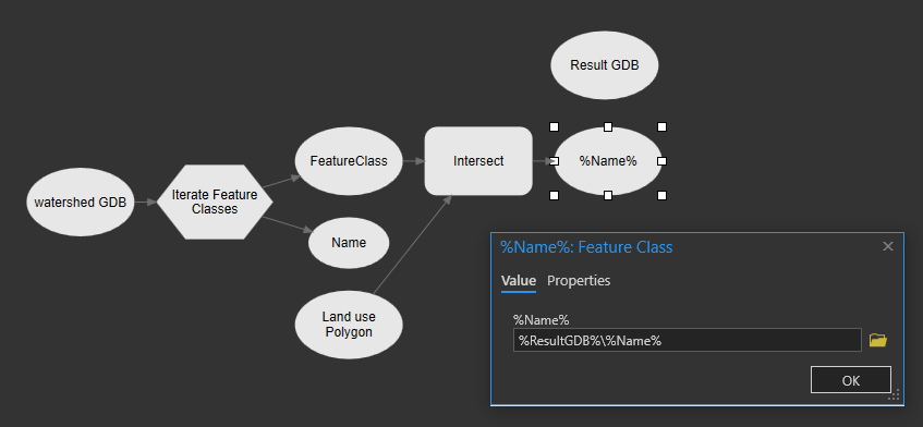
But I'm not sure I've created a model that will properly loop through all the watersheds in the geodatabase (see below). I used a for loop, but I'm not sure I used it properly. I also need them to be exported as their original name, but in a different geodatabase. Is this how an iterative intersect model would work?


