1

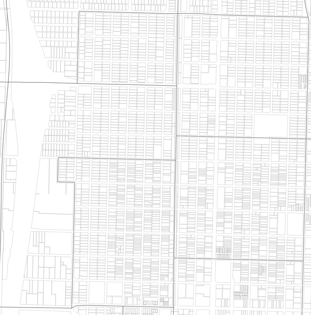
I have a QGIS project containing two multipolygon layers: 2010 Census block groups and Parcels. Each layer is in a separate shapefile.

enter image description here

The thick-lined layer represents block groups. The thin-lined layer is parcels. The block group layer attribute table shows that each block group has a unique ID.

How do I output the number of parcels in each block group into a spreadsheet-style format? Is it possible in QGIS or must I choose another program?

1 Answer 1

1

Steps I would take to solve this problem assuming the block groups is a separate file to the parcels:

  1. Add a field to the parcels polygons call it whatever you want
  2. Calculate that new field in the parcels table to equal 1
  3. Perform a spatial join between the block group is joining the parcels and the 'SUM' statistics button is selected
  4. export the spatial join output to a .csv file

    spatial join tutorial

Your Answer

By clicking “Post Your Answer”, you agree to our terms of service and acknowledge you have read our privacy policy.

Not the answer you're looking for? Browse other questions tagged or ask your own question.