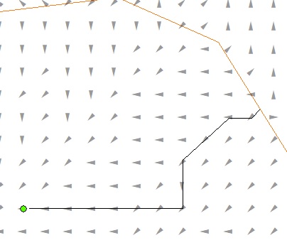
I delineated flow directions in a watershed on ArcMap (10m DEM). Then I want to calculate distance between two points 'following' the flow direction in each raster cell, not a straight line distance.
Is there any way to do it automatically on ArcMap?
Added description: The below image shows an example distance (black line) that I want to calculate. Those arrows represent a flow direction in each cell (I changed the symbology to show those directions by arrows). The distance is not on a channel.

