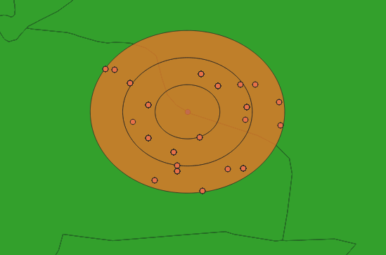
A boundary runs through the buffer shown. I am attempting to extract all points within the buffer on either side of the boundary, distinguishing which side of the boundary the points are on.
Is there an easy way to do this using QGIS?
I have 27 buffers in total and over 3000 points fall within these buffers so 'extracting by location' and then sorting visually is not feasible.

