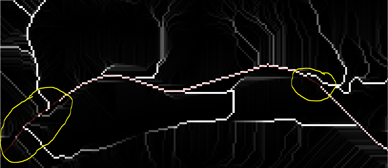
I need help from stackexchange because of a DEM correction problem...
I have a DEM with a 5 meters resolution where one of the main river is cut by a large highway. In order to delete that topology error I'm looking for a method for burning the river in the DEM.
After looking at tutorials I've tried "r.carve" (additionnal stream depth = 10 meters) but even thought it happened to have corrected my DEM, the flow accumulation in this area is very discontinuous...
What is the problem here?


