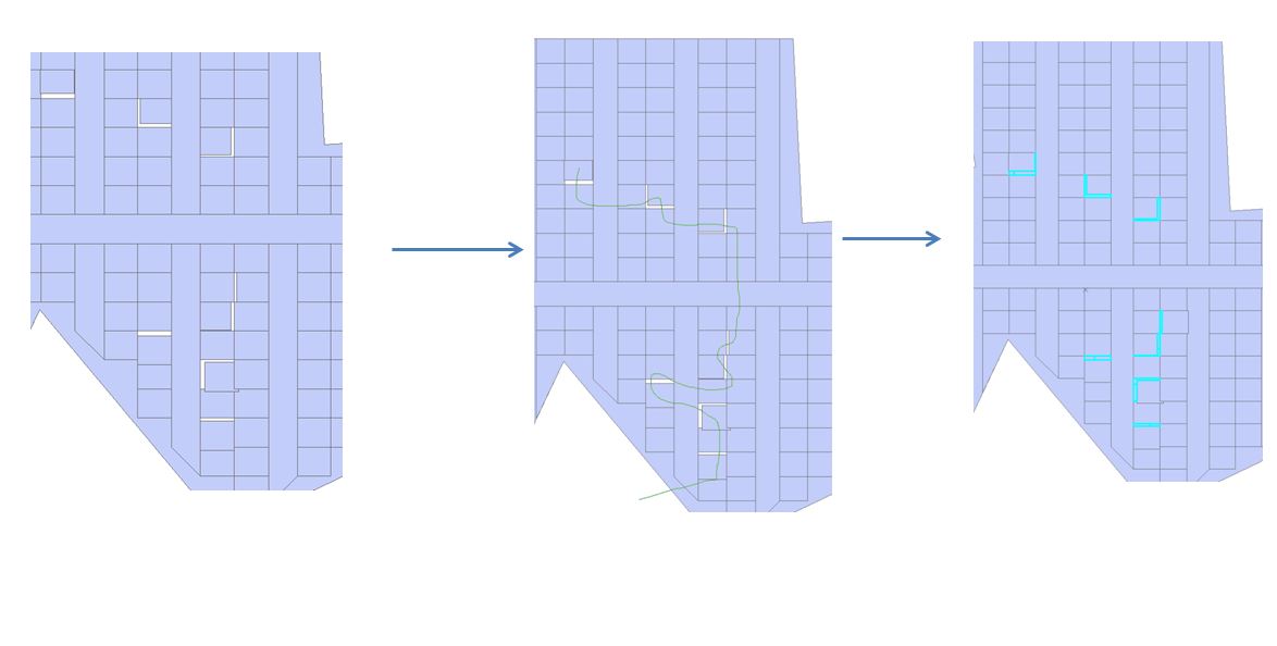
I have a land map with three labels (sand, vegetation and water).
I wish to eliminate overlaps and gaps between these labels. There are tens of thousands of gaps and overlaps, so I need to automate this process. I know how to do this for overlaps using ArcGIS tools but not for gaps.
For overlaps, I detect the intersect between the 3 layers (sand, vegetation and water) using the intersect tool and then re-label the intersect using a simple calculation (the intersect is re-labeled to whichever layer has the highest value for that space).
However, for gaps, I'm struggling to figure out how to eliminate the slivers via an automated approach. I've tried to create a topology to identify gaps and then use the eliminate tool to remove these slivers. Although the topology identifies gaps, I can't run the eliminate tool to remove the gaps as it requires "a selection". I don't know how to select gaps as this data is non-existent.
How can I eliminate the gaps detected by my topology? I can't do this manually because it's tens of thousands of gaps. I also can't seem to do this using the eliminate tool as I can't "select" the gaps as there is literally no vector data due to it being a gap.
Data details:
A feature class with 3 polygon types (sand, vegetation and water).


selection (length or area)and the SQLex_where_clause. This provides considerable flexibility. There is also the possibility that certain data would require a two pass approach specifying area then length in the selection criteria.