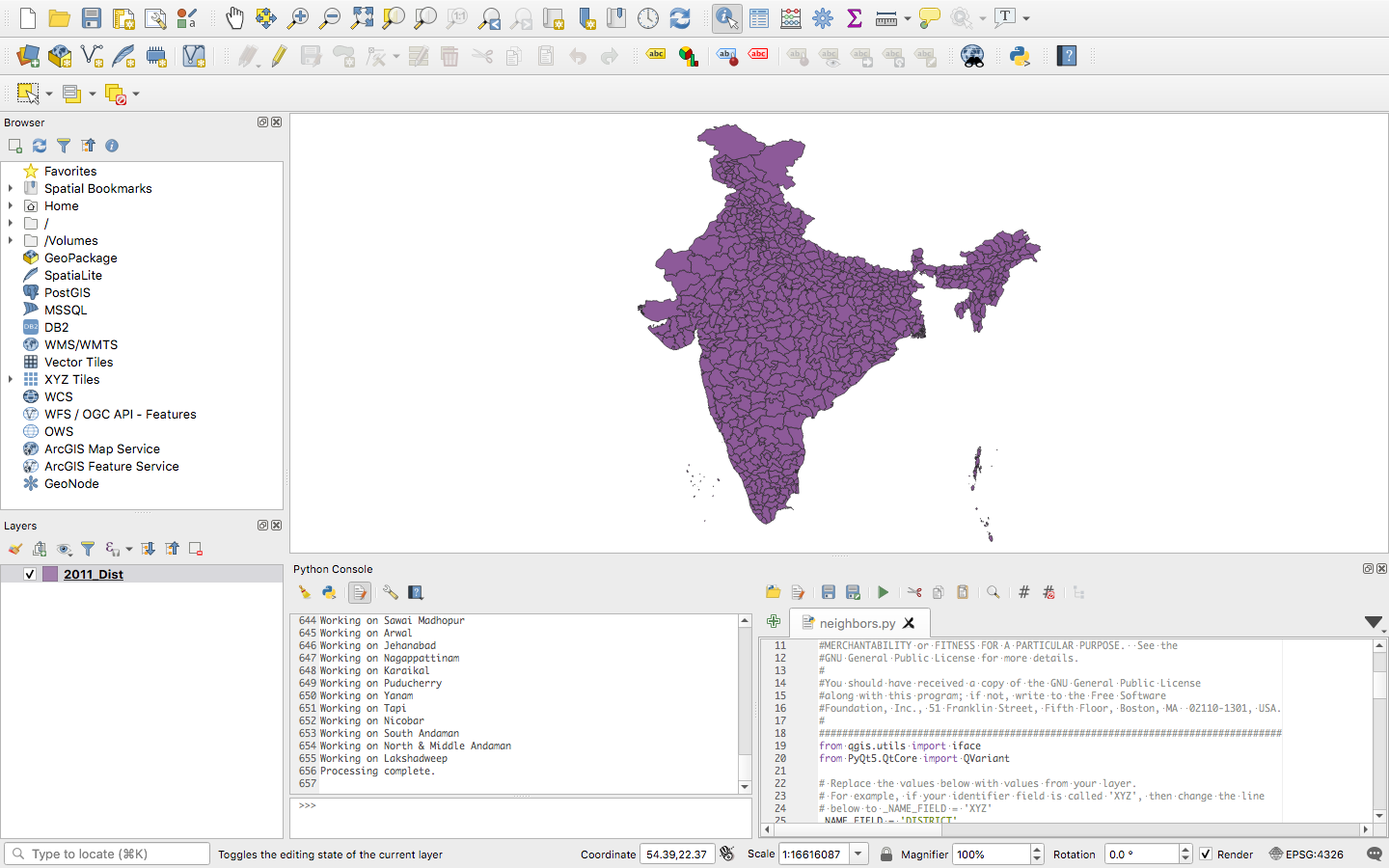
I'm extremely new on QGIS and I have a district map of India which looks like this.

I want the data of districts situated on the border. Basically, with each district there will be another column stating a binary output(0/1, situated at the border/not situated at the border) which is apparently the number of points on the edges. How can I do this?
