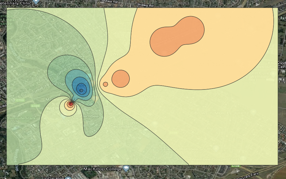
Ok, I took a look at your geojson data. I'm responding with an answer only because it allows me to include screenshots. I'm not sure I'll be able to solve your problem but here goes...
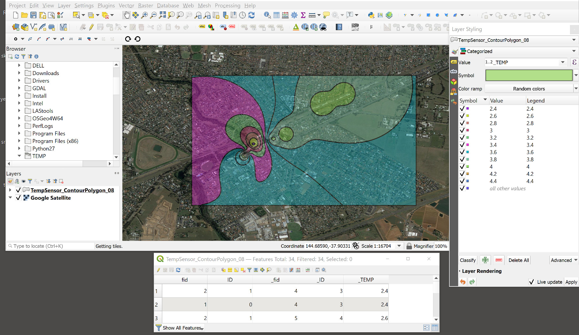
I loaded the geojson file into QGIS 3.14.1 and styled it categorically using _TEMP with random colors and Layer Rendering > Opacity set to 40%. The resulting layer displays over the satellite imagery with (what looks like to me) correct opacity. I'm not sure why I'm getting opacity across the layer and you are not, but perhaps this solves your problem:

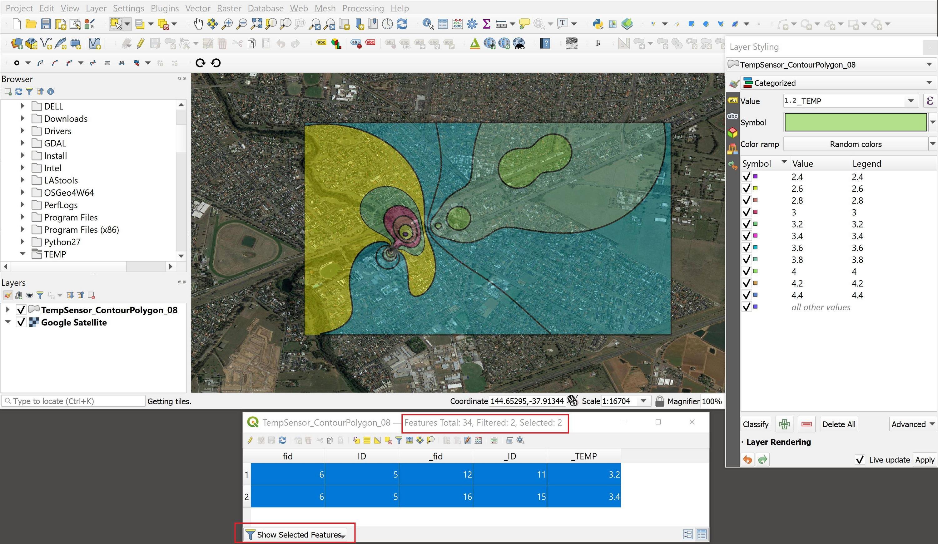
But if I read between the lines of your post I get the idea that you're also concerned about the polygon stacking. I agree that you have stacked polygons. For example, in the following screenshot I clicked on the far western (magenta) polygon using the Select Features tool. This highlighted the selected area in yellow, and the attribute table shows two polygons selected, which indicates that you have a multipolygon feature structure:

The two selected (stacked) polygons have different _TEMP values (I assume that you're attribute of interest is _TEMP). But do you want two different values for the same polygon area? Perhaps one of those values is incorrect, and you'd like to delete the offending polygon, leaving just the single correct polygon. Alternatively, both values may be correct and you'd like to retain them, but with the ability to select either one by itself. In either case, try the Vector > Geometry Tools > Multipart to Singleparts tool.
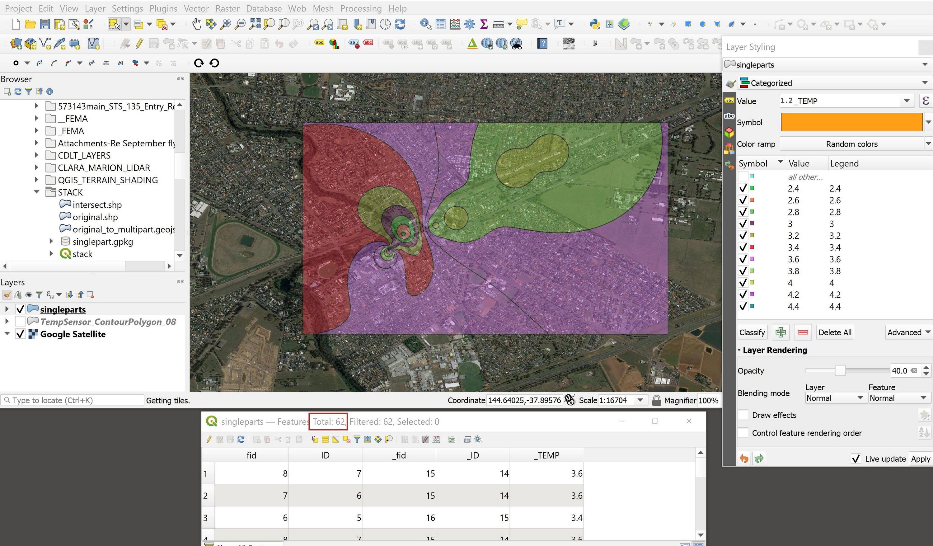
Note that the singlepart output now contains 62 polygons, versus the original multipart's 34; the "stacked" polygons have been decoupled. The singlepart design allows you to isolate individual polygons (whether originally stacked or not) for deletion (via editing) or display.


