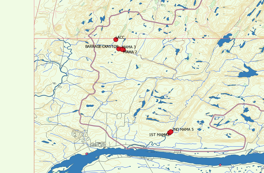
My QGIS project consists of two adjacent Canadian NTS map sheets. Each sheet consists of multiple shape files. Each set of shape files has a border. How do I eliminate the border?
2 Answers
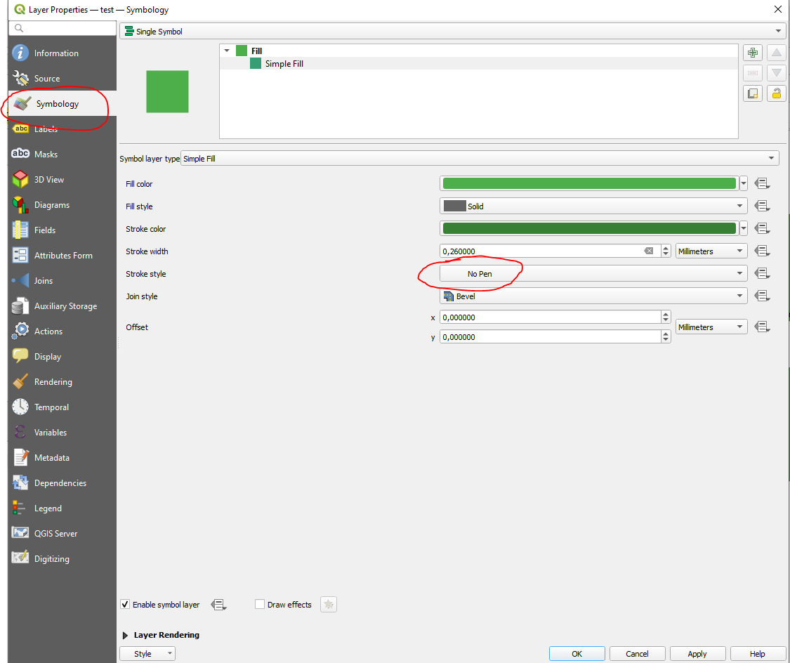
Open layer properties and go to symbology. Click on your fill and select "no pen" as "stroke style":
In case it is a line layer, simply disable it so it is not shown in your project or apply a transparent color to it.
Actually, it was a discrete shape file for each topo sheet that I found, of course, after posting this question. I was able to uncheck those two layers.


