1

Is there a specific tool that calculates the distance from points feature class to another points feature class?

I have a data set containing forest compartments (point), customer destination (point), and a road network. I am after the distance in km’s from each compartment by forest, to all of the customer destinations.
With doing simple explanation I have decided to draw my network in the simplest way. Blue point are referred to as compartments, while red is customer destination, connected by road network. For example, I would want to calculate distance from compartment 1 to customer destination 7.

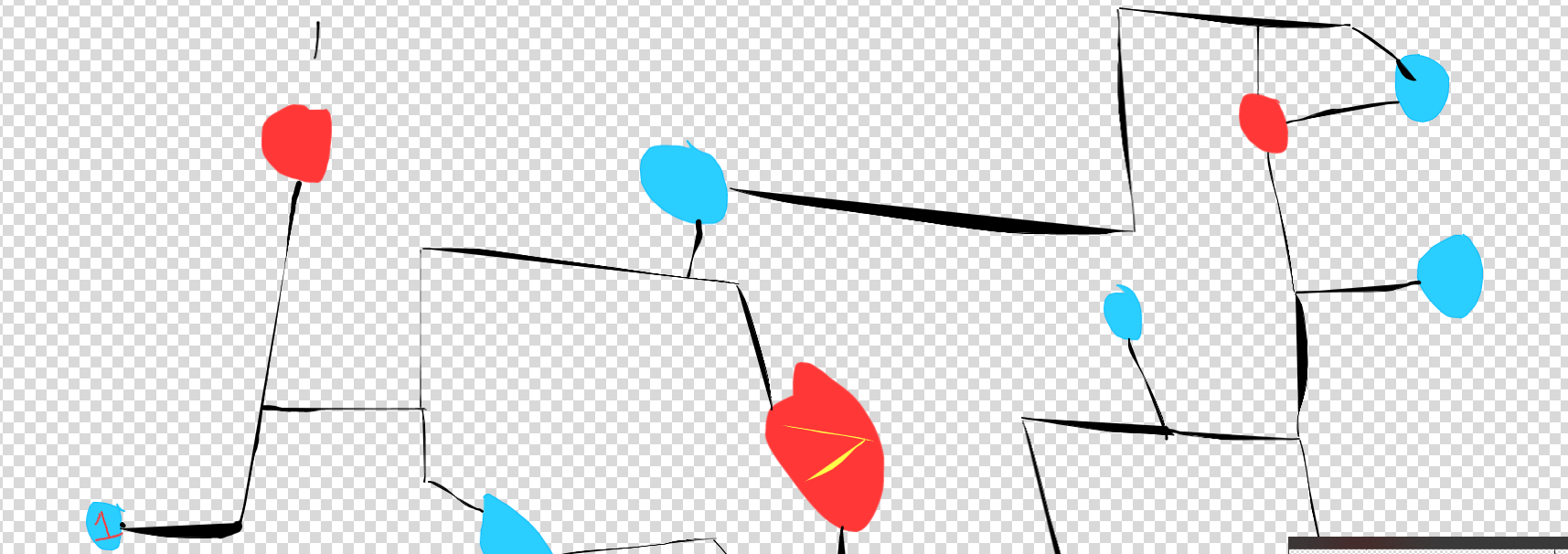
example

2
  • Yes there are tools in ArcPro that can help you answer this. It is the network dataset and you need the extension installed and licensed to be able to use it. Recommend you open the help file and start reading about it.
    – Hornbydd
    Commented Jun 28, 2022 at 9:33
  • yep, I've manage to create a network datatset,cheers. Was just wondering if you know of any of the specific tools would be useful for this? (location allocation, OD cost matrix etc...) Commented Jun 28, 2022 at 10:29

1 Answer 1

2

You probably want to use the Closest Facility tool in the Network Analyst extension in ArcGIS Pro. Your forest points will be Incidents, and your customer points will be Facilities.

Your Answer

By clicking “Post Your Answer”, you agree to our terms of service and acknowledge you have read our privacy policy.

Not the answer you're looking for? Browse other questions tagged or ask your own question.