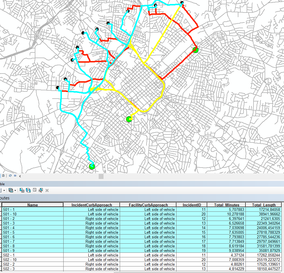
There is a road network and two point feature classes. For one feature class, I need to calculate a field to hold road (not Euclidean!) distance from every point to a certain point in the other feature class. Is there a way of doing it in ArcGIS 10? If I understand correctly, what I need to do is broadly similar to generating a Near table, but for road distances.
1 Answer
You should use the Closest Facility solver in the NA. Don't forget to enable the NA extension! Look at this short tutorial if you haven't worked with NA before.
- Create a NA layer Closest Facility.
- Load all points in your first feature class as Facilities.
- Load all points in your second feature class as Incidents.
- Change Facilities to Find option in the NA layer to the number of features in the Facilities.
- Solve the NA layer.
What you will get is an output layer Routes which will contain lines between each facility and each incident. You can then join the route length information as needed by using the join operation either in ArcMap or by using a GP tool such as Join Field.

