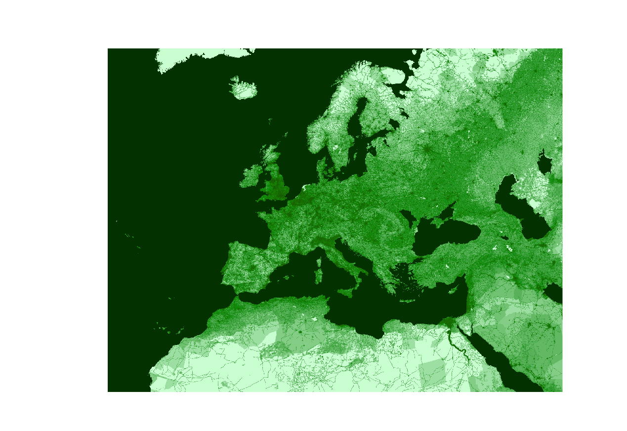
I am trying to reproject a global raster (this: https://sedac.ciesin.columbia.edu/data/set/wildareas-v3-2009-human-footprint/data-download, I named it HFI) from Mollweide (its projection) to LAEA3035 and clip it to Europe. Usually, these are the steps I follow:
I create a location with the same coordinate system of the file (in this case, I selected "choose the coordinate system from a referenced file", and used this raster as reference),
switch to the Location LAEA3035, where I set the region and resolution:
g.region -p res=1000 raster=myEuropeRasterprojection: 99 (ETRS89_LAEA_Europe) zone: 0 datum: etrs89 ellipsoid: grs80 north: 6824829.90382694 south: 1385914.39679116 west: 944055.47446584 east: 7602904.43906583 nsres: 999.98446535 ewres: 999.97731861 rows: 5439 cols: 6659 cells: 36218301create a mask
r.mask raster=myEuropeRasterrun
r.proj location=MOLL mapset=PERMANENT input=HFI output=HFI
It isn't working. First it throws two warnings:
WARNING: proj_trans() failed: acos/asin: |arg| >1.+1e-14
WARNING: proj_create() failed for '(null)'
and then an error:
ERROR: Unable to initialize coordinate transformation
This is the selected PROJ pipeline that appears:
Selected PROJ pipeline:
+proj=pipeline +step +inv +proj=laea +lat_0=52 +lon_0=10 +x_0=4321000
+y_0=3210000 +ellps=GRS80 +step +proj=moll +lon_0=0 +x_0=0 +y_0=0
+ellps=WGS84
I searched online but couldn't find much information on how to solve this issue... I am using GRASS 7.8.6 on a server running Ubuntu 18.04.6 fro a Windows 10 machine.


g.region -poutput saysprojection: 99 (ETRS89_LAEA_Europe)