I'm trying to merge 4 rasters I have in order to create mosaic.
However, when I merge them, I get white stripes on the area where they overlap,despite the fact that one of them has non-null values on the overlap parts. Using the method parameter with value "max" did not solve the problem. This is how I did the merge:
mosaic, output = merge(tiffs,method='max') #I have also tried just for case : min, last,first
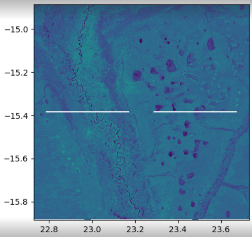
The results have the stripe on the middle:

When I checked if the layers overlap, by getting their extent polygon using qgis, I realized that they do:

I don't understand why I get this stripes, why method doesn't solve it,and how can I avoid this white stripe.
Edit: Just to give some more information:
- The nodata value set to None
- I took two rasters out of the 4 and created an image to demonstrate what is hapenning on the "white stripes" area:
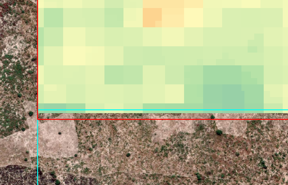
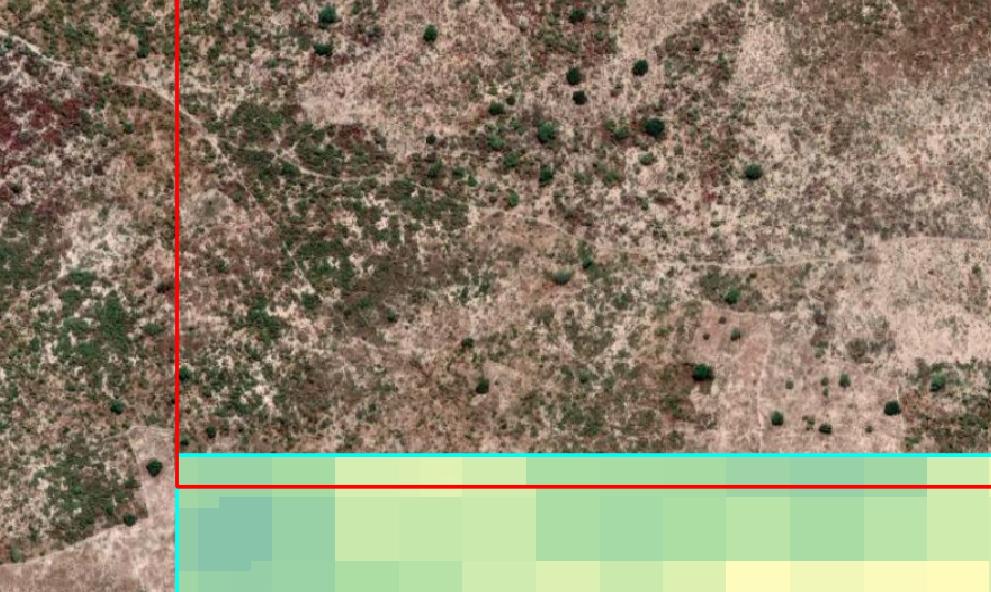
The cyan polygon is the extent of the bottom raster and the red polygon is the extent of the high raster.
The bottom (cyan) raster, which I don't show in the image, has values inside the polygon (no no-data).
The "red polygon" extent raster has no data values on the bottom.
the red raster with its' extent:

the cyan raster with its' extent:

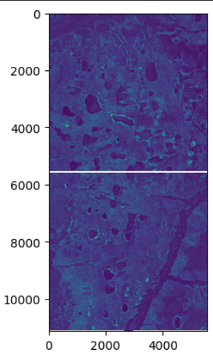
based on that I tried to set the no-data values to 0 and then to set method to max but that yield the white strips (a bit different style but same problem) -

The result merged raster looks like this (with the original rasters extents on cyan and red):

So it seems like the values of the cyan raster are being removed for some reason I don't understand yet.
