I have mapped the population (1km x 1km grid) of my country and I have used travel time to create driving distance polygons (i.e. 15 minutes). I have reprojected all the layers to the same EPSG (3857) but when I try to "Join attributes by location" (Population > Intersect > 15 minutes of driving) it just maps out all the points for the entire country. Not just the points within my 15 min-polygon.
I have managed to get this to work before but can't seem to get it to work now. Any suggestions to what I might be doing wrong?
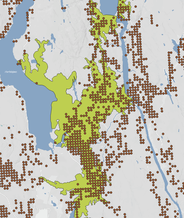
Here is an example. I want to "extract" all the dots that intersects with the green polygon. Each dot represents a number of people that varies. It's a catchment area analysis. How many people live within 15 minutes of driving.


