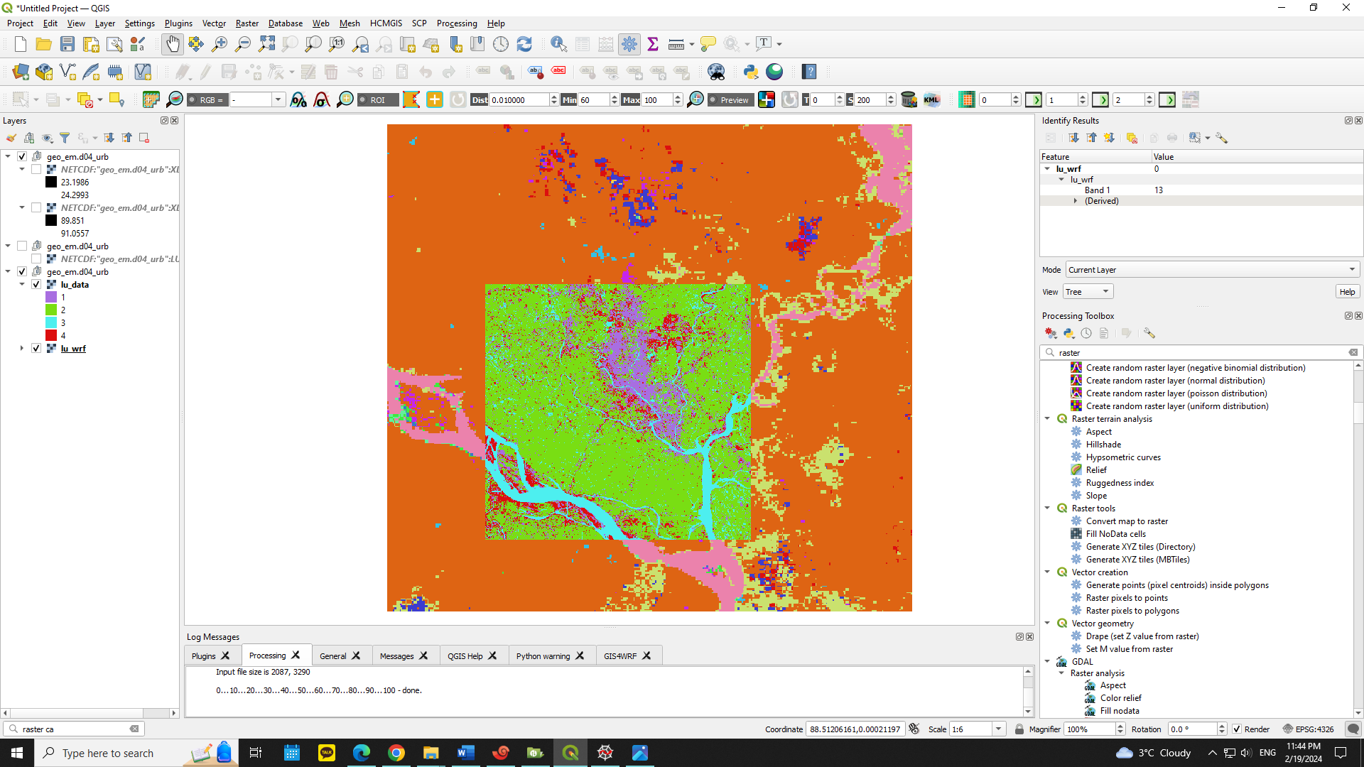
I am using WRF real case to study urban breeze. I used MODIS 15s 500m resolution data for landuse. There are 378x378 grids. This data underestimates the urban area in my study area. I made a supervised classification landuse map using Landsat 8 OLI data. There are 2087x2087 grids. The data resolution is 30m and it shows the urban area properly.
I want to change the urban area in MODIS file based on the urban area in the Landsat classified file. I saved the landuse data from each file as .nc files in such a way that they are overlapped when opened in QGIS. However, their grid numbers and lat-lon positions are not the same, hence I cannot use indexing method to change the pixel values. Is there any way to achieve what I am trying to do?
I am adding the figure that shows overlapped landuses, the smaller one is Landsat 8 high-res data, and the larger one is the MODIS data.

