I'm building an image mosaic from reprojected data. As data is reprojected the image has a slight rotation, filling the "void" at the border of each image with a nodata value.
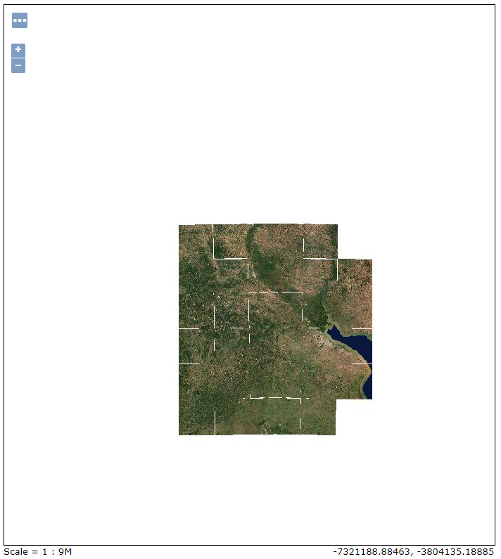
The image mosaic works as expected, but when zooming out, some rendering error appears, showing white lines where those "nodata" values where filled. Apparently GeoServer is ignoring the nodata value.
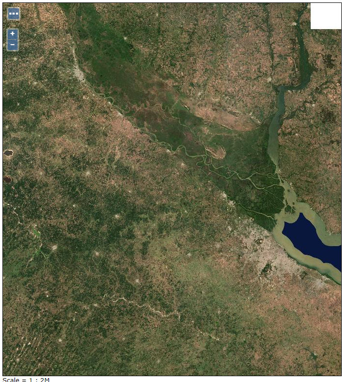
Zoomed-in image where no lines between granules are visible:
Zoomed-out image where lines between granules appear:
The nodata value is correctly set in the GeoTIFF image, and I've also configured the 'input transparent color' option to the appropriate value.


