Method I: Tedious calculation by hand
Start with the WMTS endpoint. Find <TileMatrix> for zoom level 17:
<TileMatrix>
 <ows:Identifier>17</ows:Identifier>
 <ScaleDenominator>590.588978796931</ScaleDenominator>
 <TopLeftCorner>-5120900.0 9998100.0</TopLeftCorner>
 <TileWidth>256</TileWidth>
 <TileHeight>256</TileHeight>
 <MatrixWidth>141182</MatrixWidth>
 <MatrixHeight>41237</MatrixHeight>
</TileMatrix>
Find ScaleDenominator value: 590.588978796931. Find TileWidth and TileHeight: 256. After reading What is WMTS' ScaleDenominator?, you'll know that
to calculate span of each tile in meters by multiplying TileWidth (or
TileHeight) by ScaleDenominator * 0.00028.
Therefore, the edgelength of a zoom level 17 tile is: 256 * 590.588978796931 * 0.00028 = 42.3334180002 units.
Find <TopLeftCorner>: -5120900.0 9998100.0. To calculate the top left corner of 17/31066/133128, we need to add 133128 edgelengths to -5120900.0 and deduct 31066 edgelengths from 9998100.0. Ie:
x = -5120900.0 + 256 * 590.588978796931 * 0.00028 * 133128 # 514863.2715258347
y = 9998100.0 - 256 * 590.588978796931 * 0.00028 * 31066   # 8682970.036406904
To find the centre of this tile, we need to add and deduct half an edgelength more:
x = -5120900.0 + 256 * 590.588978796931 * 0.00028 * (133128 + 0.5) # 514884.438234834
y = 9998100.0 - 256 * 590.588978796931 * 0.00028 * (31066 + 0.5)   # 8682948.869697904
To create the tile squre, we can rely on the Creating square buffers around points using shapely? thread:
import shapely.geometry

p = shapely.geometry.Point(x, y).buffer(
    256 * 590.588978796931 * 0.00028 / 2, cap_style=3
)
where 256 * 590.588978796931 * 0.00028 / 2 is half an edgelength. Get WKT geometry via p.wkt:
POLYGON ((514905.60494383407 8682970.036406904, 514905.60494383407 8682927.702988904, 514863.27152583393 8682927.702988904, 514863.27152583393 8682970.036406904, 514905.60494383407 8682970.036406904))
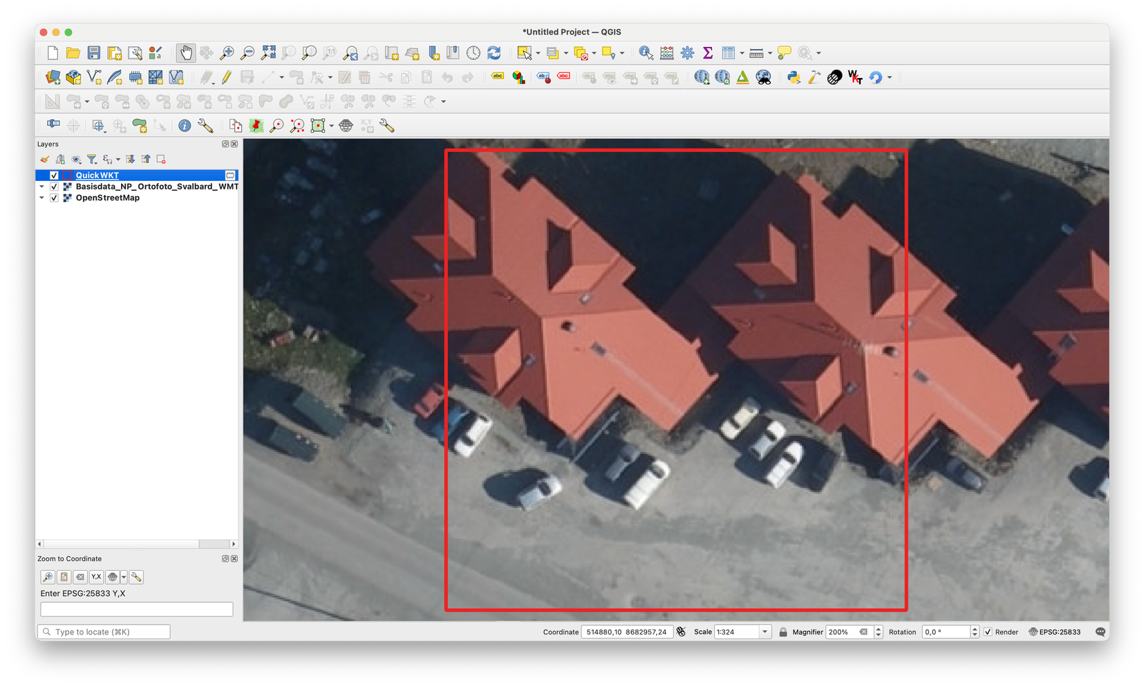
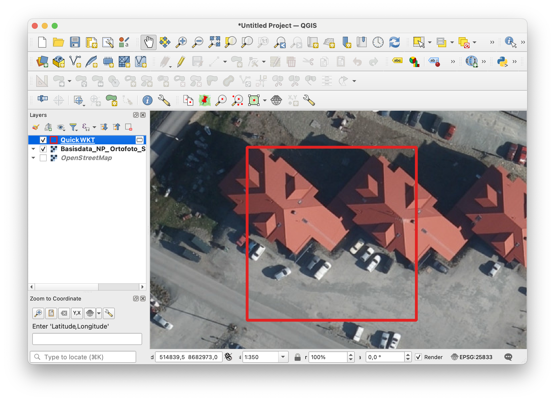
Check in QGIS (using QuickWKT):

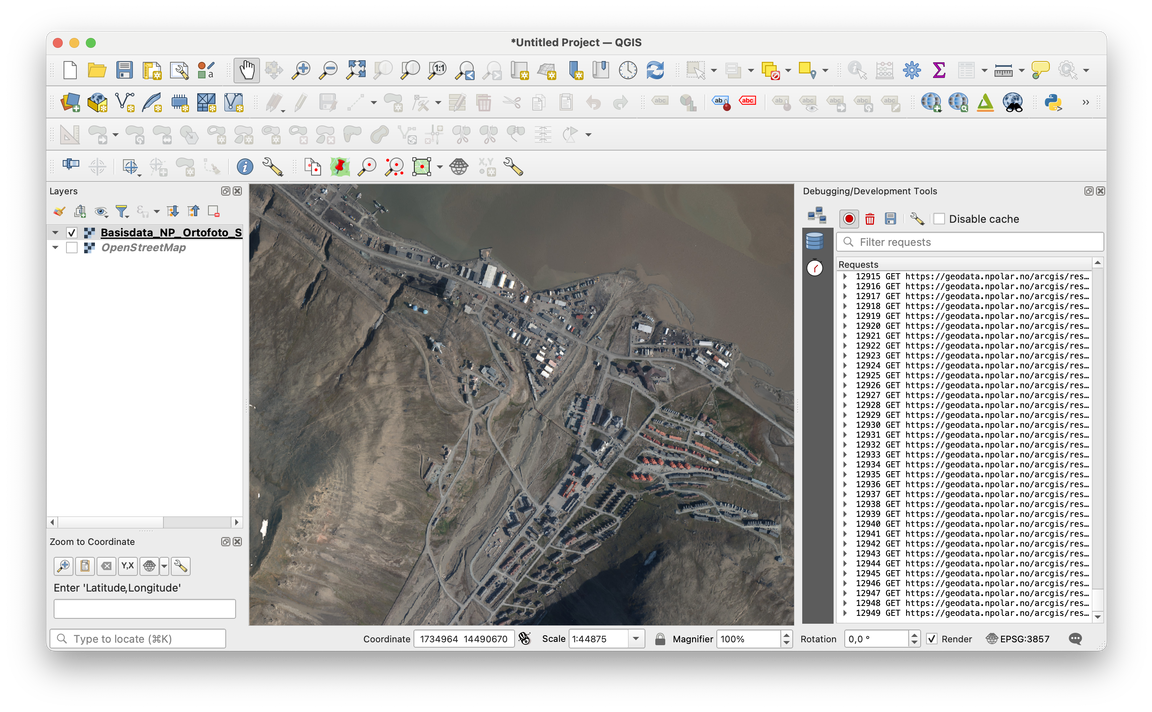
Cf query for 17/31066/133128. The result looks accurate.
Method II: just use a function
This method relies on OWSLib. pip3 install OWSLib. We can get tile bounds using tileid_to_wkt below:
from owslib.wmts import WebMapTileService
import shapely.geometry

url = "https://geodata.npolar.no/arcgis/rest/services/Basisdata/NP_Ortofoto_Svalbard_WMTS_25833/MapServer/WMTS/"

def tileid_to_wkt(z, x, y, url=url):
    wmts = WebMapTileService(url)
    m = wmts.tilematrixsets["default028mm"].tilematrix[str(z)]
    assert m.tileheight == m.tilewidth

    u = m.topleftcorner[0] + m.tileheight * m.scaledenominator * 0.00028 * (y + 0.5)
    v = m.topleftcorner[1] - m.tileheight * m.scaledenominator * 0.00028 * (x + 0.5)

    p = shapely.geometry.Point(u, v).buffer(
        m.tileheight * m.scaledenominator * 0.00028 / 2, cap_style=3
    )

    return p.wkt
tileid_to_wkt(17,31066,133128) will then return:
POLYGON ((514905.60494383407 8682970.036406904, 514905.60494383407 8682927.702988904, 514863.27152583393 8682927.702988904, 514863.27152583393 8682970.036406904, 514905.60494383407 8682970.036406904))
ie the same string we have arrived at using Method I.


