It looks like it could be possible if you modify the existing OpenLayers Plugin for QGIS to do this
You can get the source code for it at github to get an editable version: https://github.com/sourcepole/qgis-openlayers-plugin
You don't have to fork or clone with git account, they offer the source code in a zip/tarball for anyone to download.
You can see some instructions on how to add your own entry at theproject wiki for this plugin:
- Add a HTML file with your layer in html/
- *Register your layer in the __init__ method of class OpenlayersPlugin (openlayers_plugin.py)*
It looks like this plugin was used to make a new plugin recently added: TMS for Korean Users so mod away =)
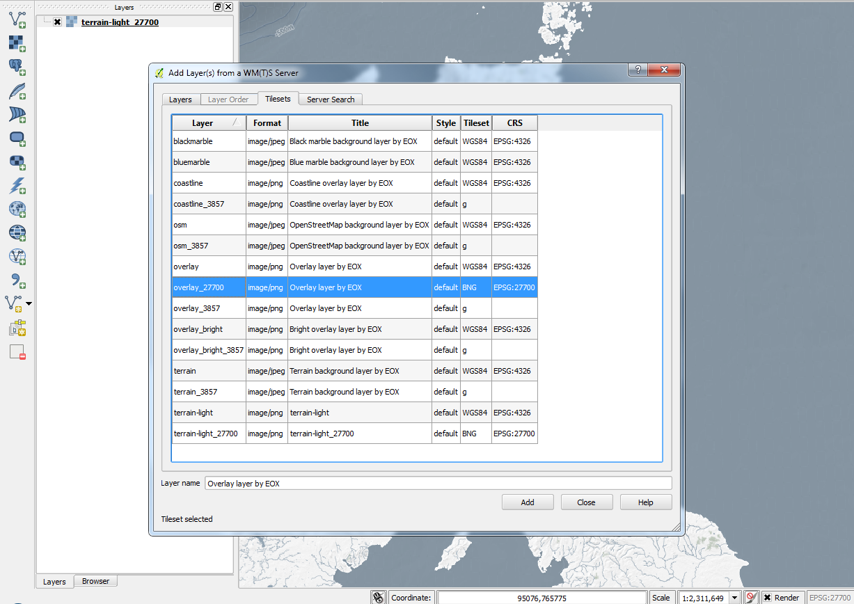
And according to the GetCapabilities document of the WMTS you've pointed to, they offer the service in the Google Mercator projection so it should fit nicely without having to modify any SRS parameters in the OpenLayers plugin.

