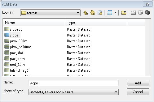
I want to open a "Raster Dataset" in QGIS. In ArcMAP I can just add it like shown in the Screenshot (only the raster shows up).

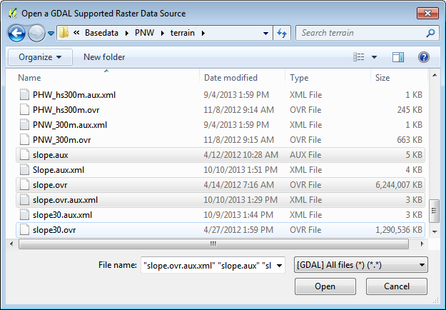
If I am trying to do this in QGIS. However there I don't see the raster files itself. I find three files (.ovr, .aux, and .ovr.aux.xml) and a folder (with .adf files inside it). How can I open the raster?

A similar question was already asked here and here, but never really answered.

.ovrfiles are simply external pyramid files (help.arcgis.com/en/arcgisdesktop/10.0/help/index.html#//…). They are not the raster layer source