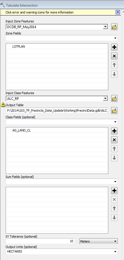
I gave an answer to a similar problem here, where the asker was talking about zones but the theory is the same.
Percentage is area covered divided by the total original area, so the total original area must be preserved as an attribute.
Overlay the polygons with your choice of intersect, identity or union - they all do the same thing in subtlety different ways. Union would be my choice.
Use summary statistics to find the total land area covered for each parcel using case fields Original Area, LOTPLAN and whatever attributes are important in the intersected layer with a sum of the shape_area then divide the total covered area by the original area.
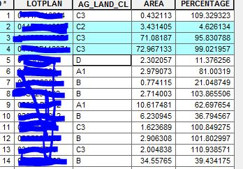
Note: you will get percentages over 100 if there are overlapping polygons in your intersect data.

 . The 3 in blue are the same property.