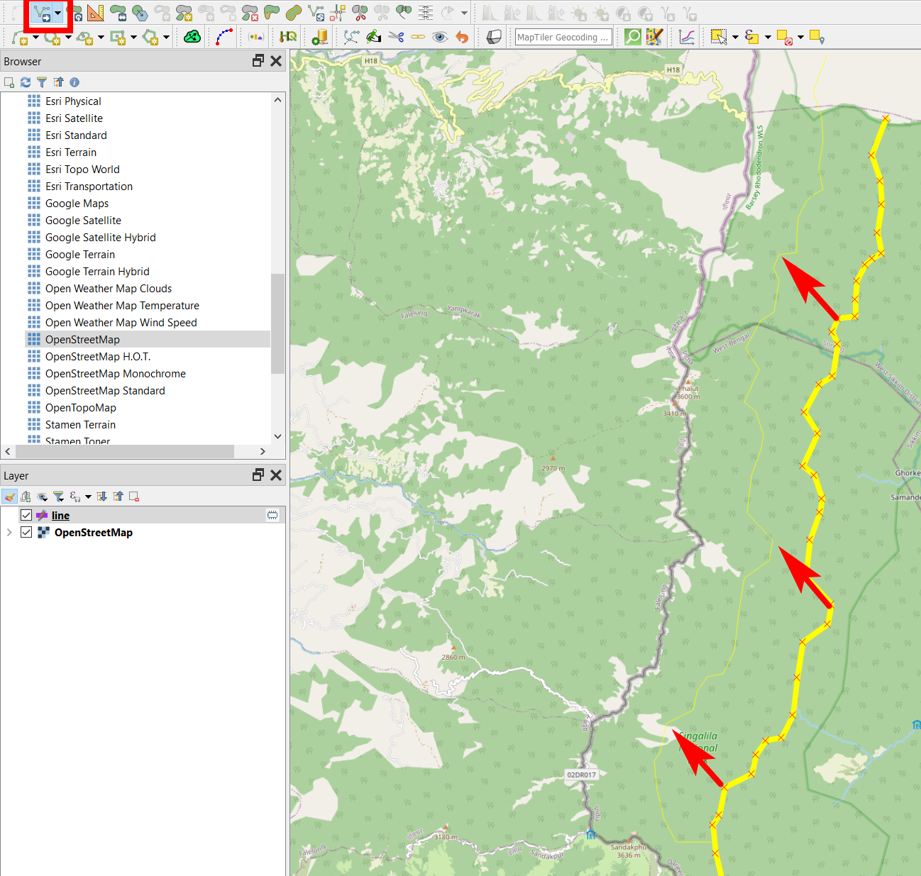
Per the attached image, my vector layer of political boundaries (in Nepal) is slightly offset to the east, by 300 m. This offset doesn't change from one end of the country to the other, so it doesn't seem to be a projection issue. In reviewing posts on similar topics, they don't seem to address this simple case. There doesn't appear to be any north-south displacement. We want these layers to line up with OSM, which we are using as an underlay.
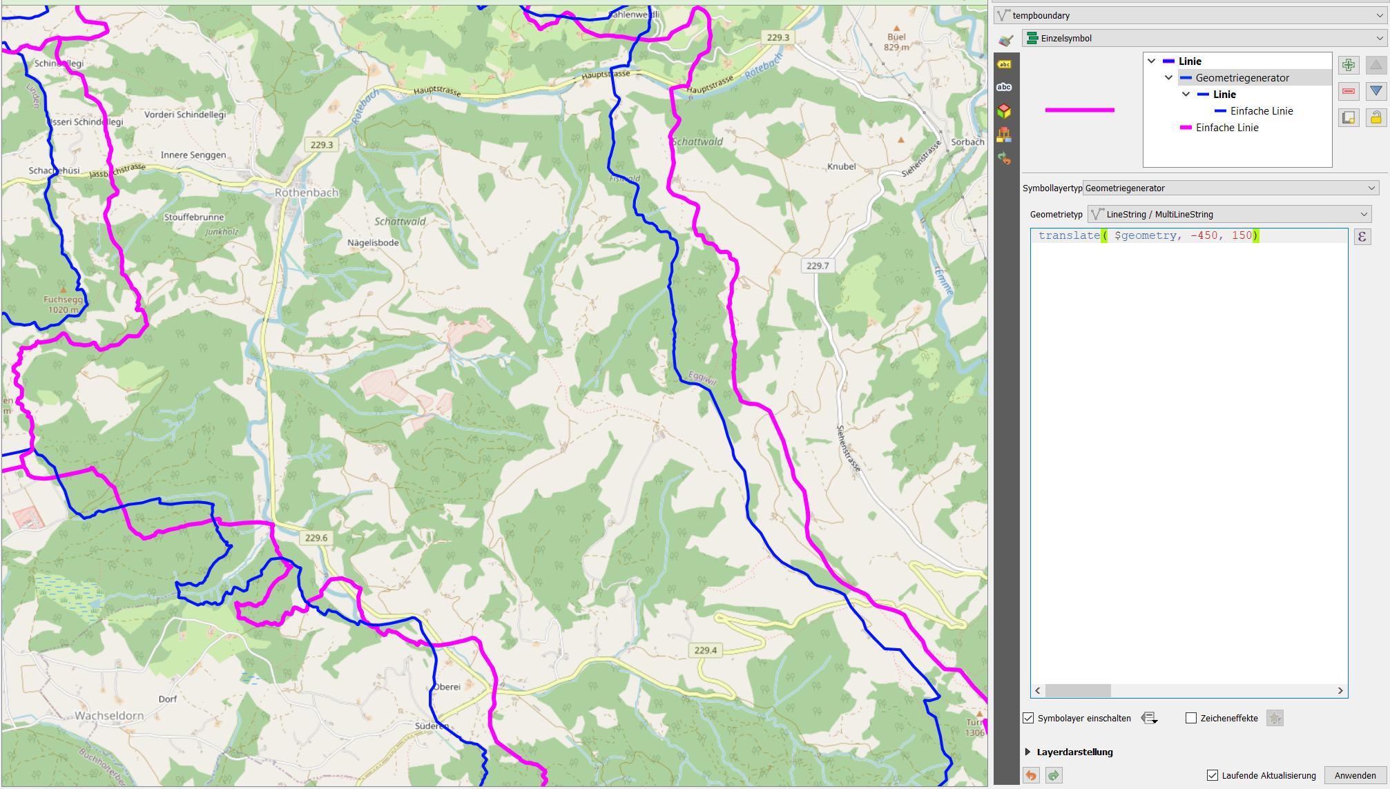
When we receive a vector layers for, say, administrative boundaries, some are offset 300m to the East, others 100m to the South. So, as Vince suggests, looks like we have a datum transformation issue. Or, rather, several. Now, reading up on the subject, it looks like there are various parameter strings that one enters in the appropriate QGIS dialogue Datum transformation in QGIS 3
My basic understanding is that these parameters tweak a given projection, possibly for a large geographic region, to a particular location.
My larger question is that we want to do this in a robust manner, and it looks like each new set of boundary layers will be slightly offset from the OSM underlay, so we'll need to do this repeatedly.


