1

I am trying to analyze the vehicle traffic in Melbourne's (AUS) road network.

I have two files: the traffic data (point data for a given latitude and longitude with the average hourly traffic between roads) and the road network as can be seen below:
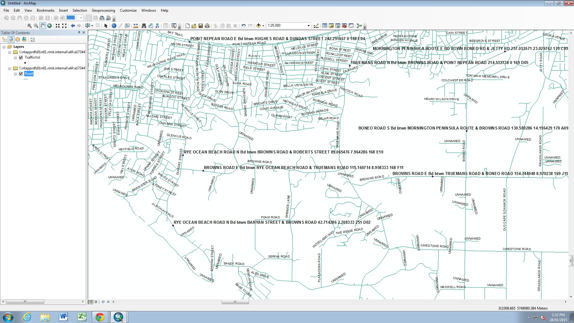
Traffic data (purple point) and Road network (green)

Traffic data (purple point) and Road network (green)

The road layer is divided in sections as seen below:
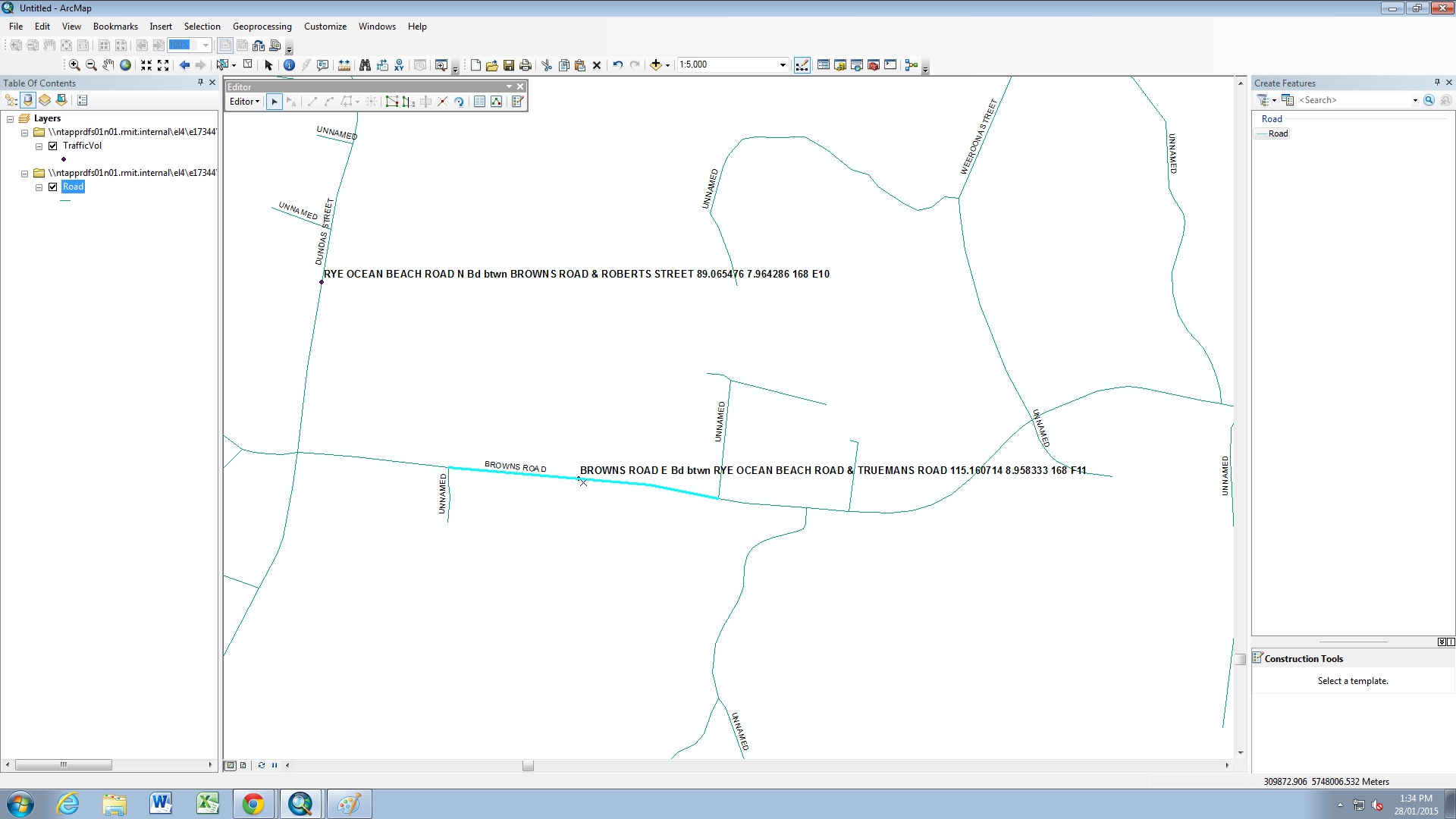
Road network with a blue section

I have to assign the traffic data to a couple of sections as seen below:
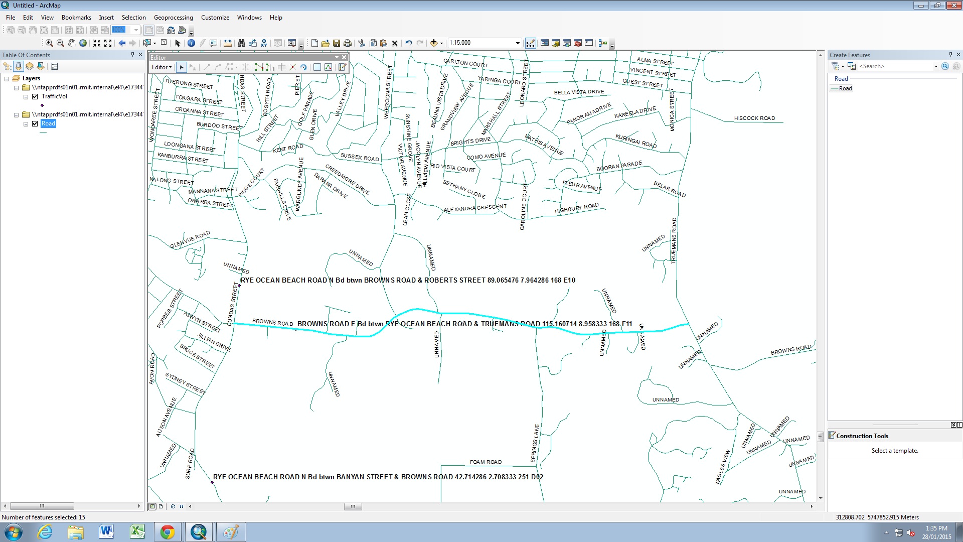
Road network with the section I have to assign new data

I have 1,616 traffic entries that I have to assign to sections of the road network. Is there any way to do it automatically or should I do it manual?

6
  • Is there a common attribute like 'road name'? If not you will have to go with the nearest road. Do you have Advanced/INFO license? Commented Jan 28, 2015 at 2:56
  • It is as seen on the figure above: The traffic data has an attribute of "BROWNS ROAD E BD btwn RYE OCEAN ROAD & TRUEMANS ROAD" and the roads have the names like BROWNS "ROAD". I have the licenses.
    – Rodolfo
    Commented Jan 28, 2015 at 3:47
  • Are your roads broken between intersections? If so, do you want to collate the information for the whole road or the section? Commented Jan 28, 2015 at 3:52
  • They are broken between intersections. But, for example, a traffic data is for Street 1 between Streets A and E. I have sections A - B, B - C, C - D and D - E on Street 1 that I have to assign the data to.
    – Rodolfo
    Commented Jan 28, 2015 at 3:57
  • Michael's idea is far simpler, but a possible line of thinking you might explore is methods used to assign addresses on networks or node ids. Like this question, you'd split that traffic attribute into road, to_road, and from_road fields. Then your road network would need the same to/from attributes. At that point there would be common attributes to join on. A nearest spatial join with a check on road names would be a lot simpler though.
    – Chris W
    Commented Jan 30, 2015 at 0:09

1 Answer 1

1

Using Near obtain the FID/OBJECTID of the closest road segment.

Use an attribute join between the points and road segments; at this stage check the matching road names vs the names on the points to ensure you're getting the right one... some manual work may be required.

After you've validated the ids then join lines to points (1:1) and then either field calculate or export with the join in place.

2
  • 1
    Assuming the traffic attribute road format is consistent (ie, x btwn x & x), what about creating a new field to strip the target road name from that, doing a nearest spatial join, and then checking by comparing the road name to the stripped name? Seems pretty close to your solution, but without the Near tool.
    – Chris W
    Commented Jan 30, 2015 at 0:12
  • That would be ideal Chris; in the old ArcINFO you could use node attributes to determine what the intersecting street is and build up a section name: X road between Y and Z. Attribute joins are much better but sloppy topology makes section naming difficult. It would be quicker to use near and then validate it than to try to rebuild the section name... note that attribute joins need to be exact and file geodatabases are case sensitive. Commented Feb 1, 2015 at 23:21

Your Answer

By clicking “Post Your Answer”, you agree to our terms of service and acknowledge you have read our privacy policy.

Not the answer you're looking for? Browse other questions tagged or ask your own question.