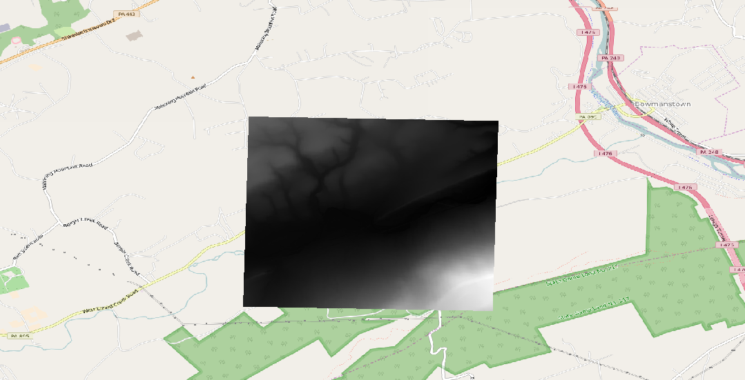
I hope I have what seems to be a rudimentary question. I have downloaded DEM files from PASDA (For example 54002530 from Here).
The CRS of the data is EPSG:32129 (NAD83 / Pennsylvania South); in feet (see description here).
I am using other data (notably the Google Satelite map from the Openlayers plugin) in QGIS that is in EPSG:3857 (WGS 84/ Psuedo Mercator) and the project CRS is set to this as well.
When I import the DEM files, they end up in the middle of the Atlantic ( for example -6063990,5102330 : -6036988,5119609). Clearly, the DEMs need to be reprojected. OTF clearly isn't working (it is on and working for other data).
I tried to Reproject (Raster->Projections->Warp (Reproject); and only transformed from EPSG:32129 to EPSG:3857), but the DEM files did not move.
I also tried the Raster Calculator, but that only converted the elevation. I was thinking that the problem was that the data was in feet, not meters.
Notably, the WMS version of the same data (see second link above) appears in the correct location.
I would like to download the DEM locally so that I can do slope and ruggedness analyses.

