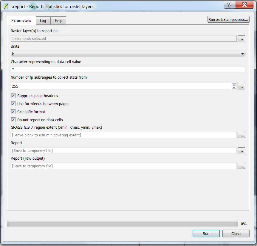
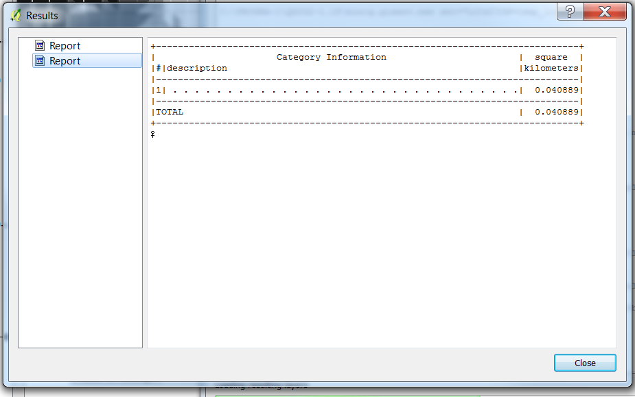
I have to calculate area from a georeferenced tiff image. I want to find the whole area in the raster. The two methods I tried was : 1.Using the area measurement tool in QGIS toolbar. 2.Vectorized the raster . Extracted the number of pixels. Calculated pixel resolution in QGIS. Multiplied the number of pixels with area of one pixel.
The area measured in the 2 methods gave two different values. Could you tell me any another method other than Calculating area of rasters in QGIS?


