I want to manually trace over an existing map image to replicate the boundaries using QGIS. If this was an existing polygon and I need to split this into 3 separate polygons, I would take the existing outer boundary, and then I would have to manually trace the boundaries of the inner areas - as a polyline or region? How would I join the inner boundaries to the outer boundary, and then create the 3 separate polygons within the base map table? I hope I have explained this clearly?
2 Answers
You are after the Polygonize tool:
This algorithm takes a lines layer and creates a polygon layer, with polygons generated from the lines in the input layer.
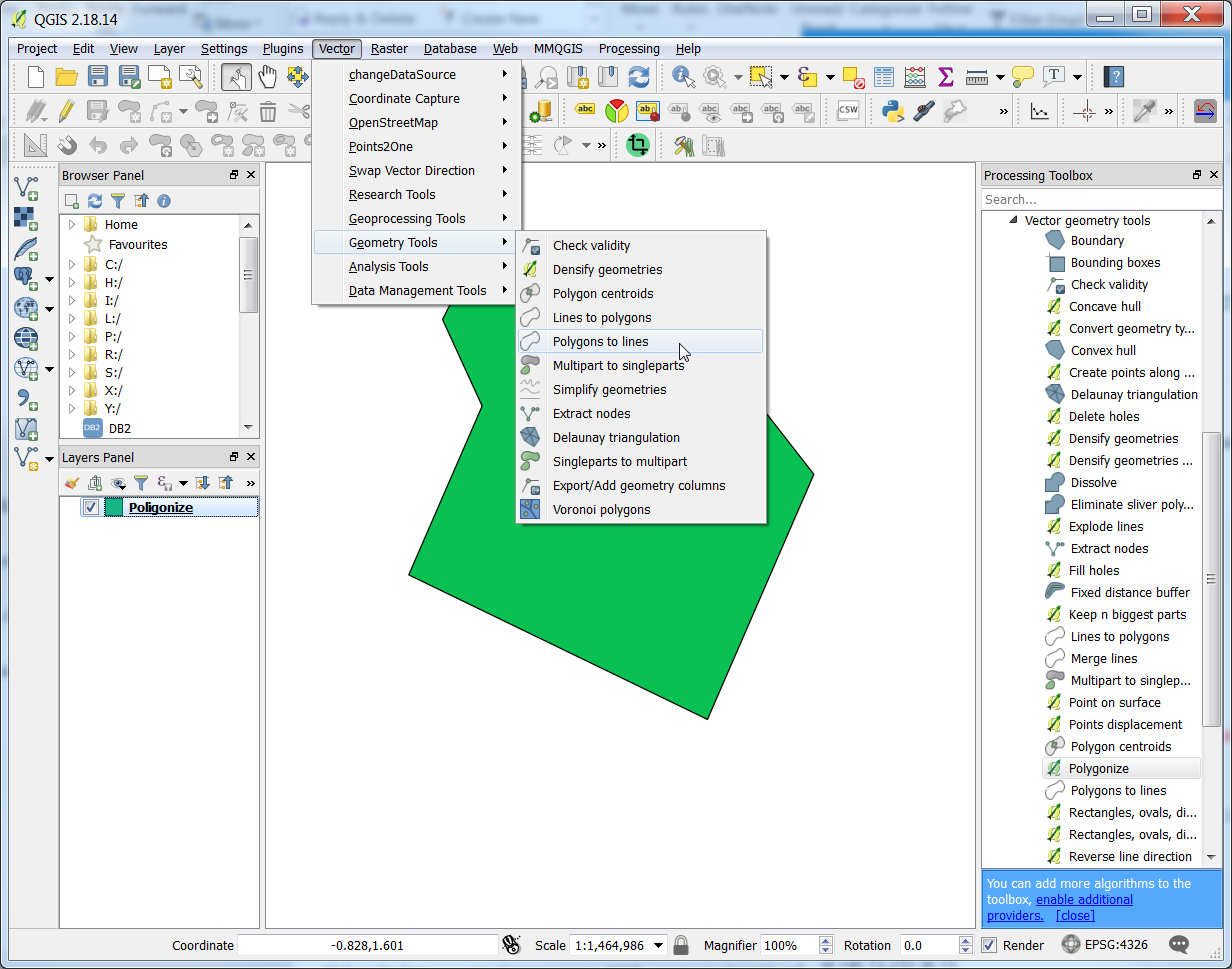
You first need to convert you polygon to lines:
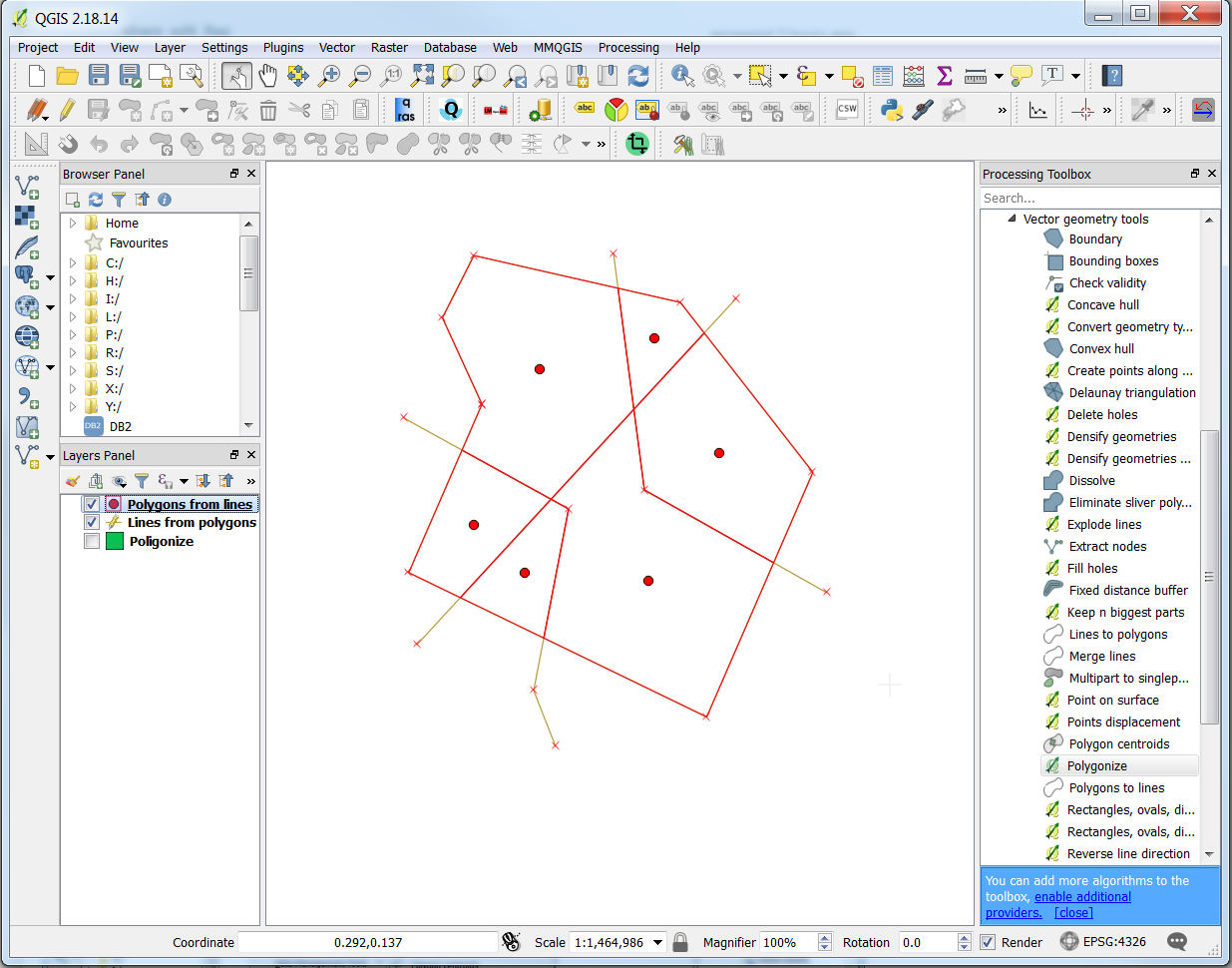
Then, drawing the new lines dividing the boundaries:
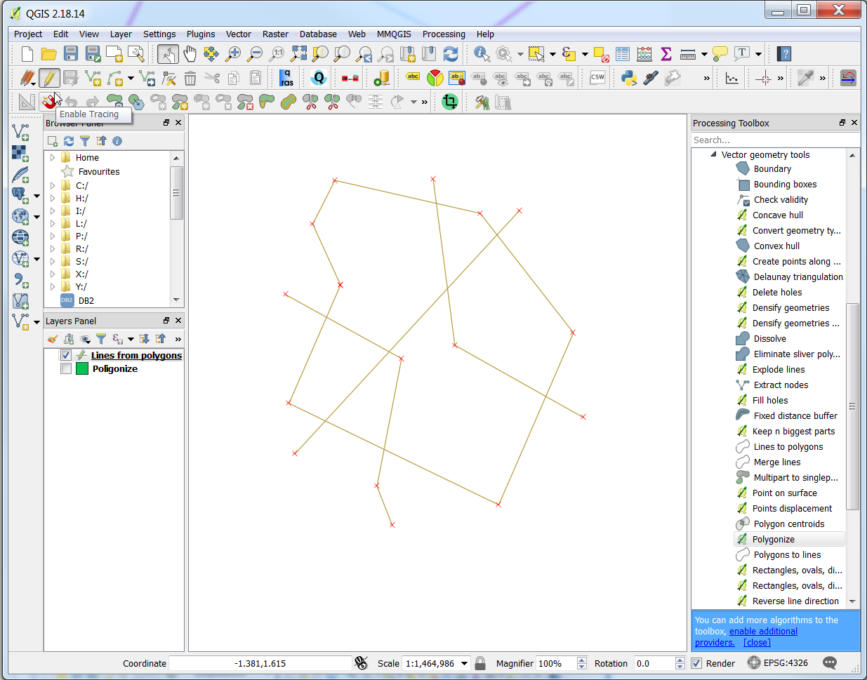
And here comes the Polygonize in the Processing Toolbox:
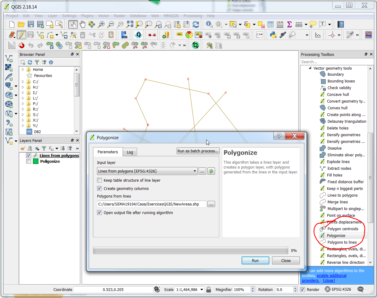
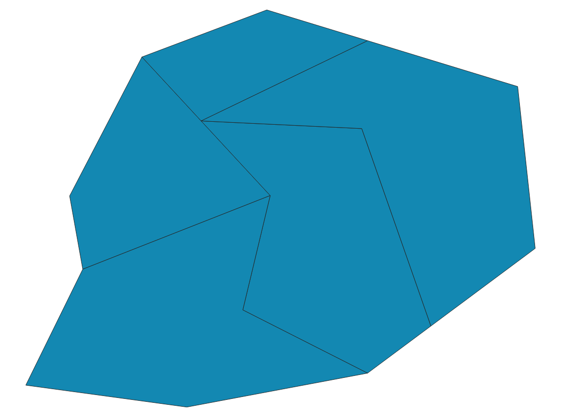
Voilà!
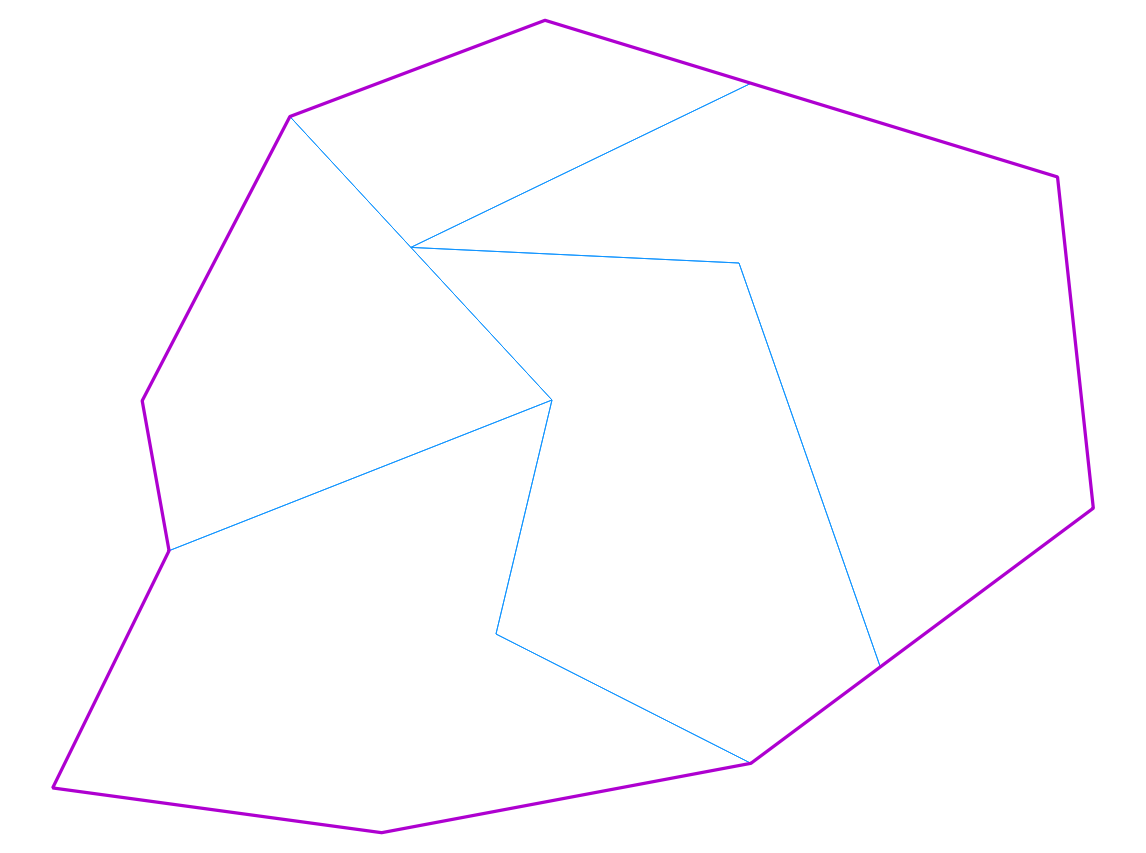
Boundaries are usually polygons that only borders are visible. Duplicate the layer file with your big polygon, split one into multiple polygons and then edit the style to only show the borders:

