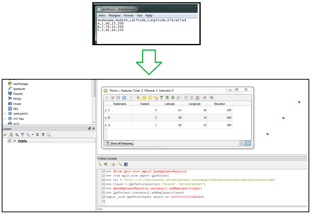
 I have a CSV file with following fields:
- Nodename
- Nodeid
- Latitude
- Longtitude
- Elevation
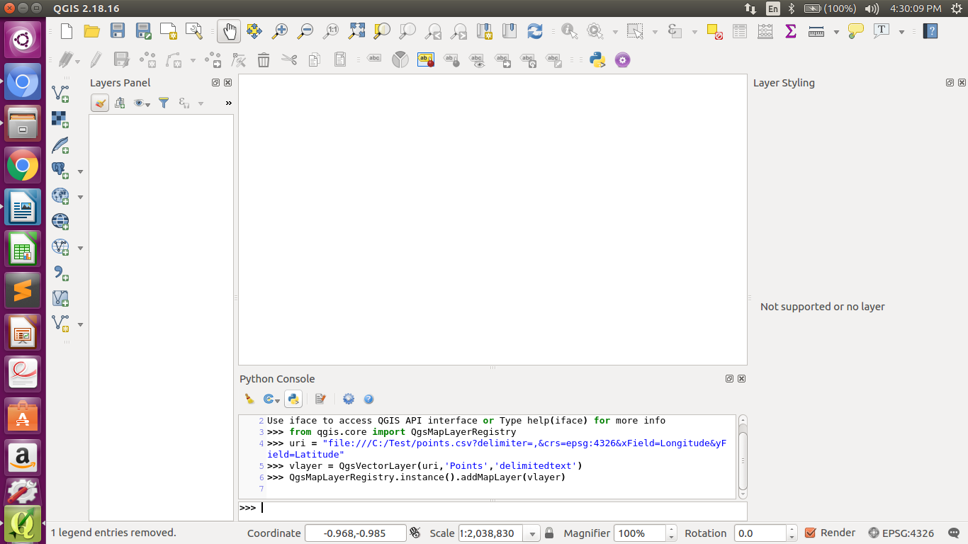
I am using Python console in QGIS to automate this. How should I write so that point with latitude, longtitude and elevation are maked as point layer? I have tried with below code, but I am getting error.
uri = "/home/priti/Desktop/MTP work/nodeinput.csv?\
type=csv&xField=Longtitude\
&yField=Lattitude\
&spatialIndex=no&subsetIndex=no&watchFile=no"

vlayer = QgsVectorLayer(uri, 'Nodes', "delimitedtext")

