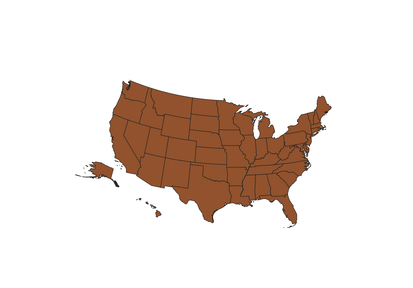
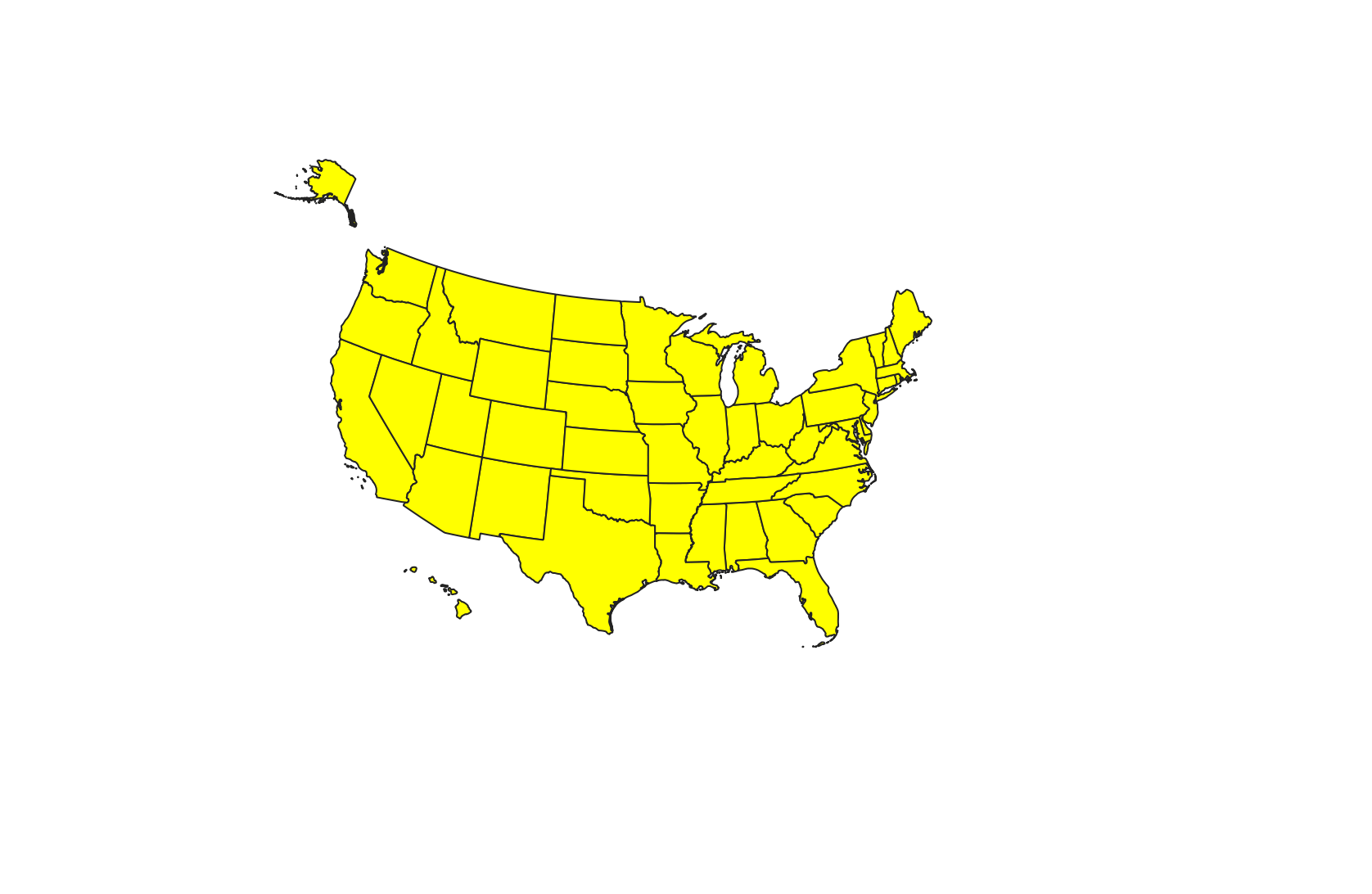
I'm a newbie to QGIS. I have a map (vector layer) of the American states + DC with the EPSG:2163 projection, and I want to move Alaska down to southwest of California, as in many political maps. How do I do this while avoiding distortion of the Alaska feature?
-
3By using the map composer and inserting a second, smaller map-item, which only displays Alaska. Don't change the data itself.– ErikCommented Nov 19, 2020 at 8:29
-
3In general that is not the correct way to do that, instead look at how to use an inset map in your print layout - gis.stackexchange.com/questions/146383/…– Ian TurtonCommented Nov 19, 2020 at 8:30
-
Ok, thank you! That's very helpful.– WillCommented Nov 21, 2020 at 22:16
Add a comment
|
1 Answer
Posting my own solution in case it helps anyone else. I needed these inset states in the shapefile for my own use, so the comments weren't too helpful. I found that the distortion arises when the global map coordinate reference system is different from the one for the layer. To fix this, I first changed the projection used by the layer to get it to how I wanted it to look and then reprojected it to the global CRS.


