Here's how I've done this.
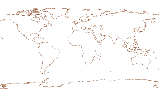
First start QGIS and load Natural Earth coastline data. The coordinates in this data are lat-long EPSG:4326. It looks like this:

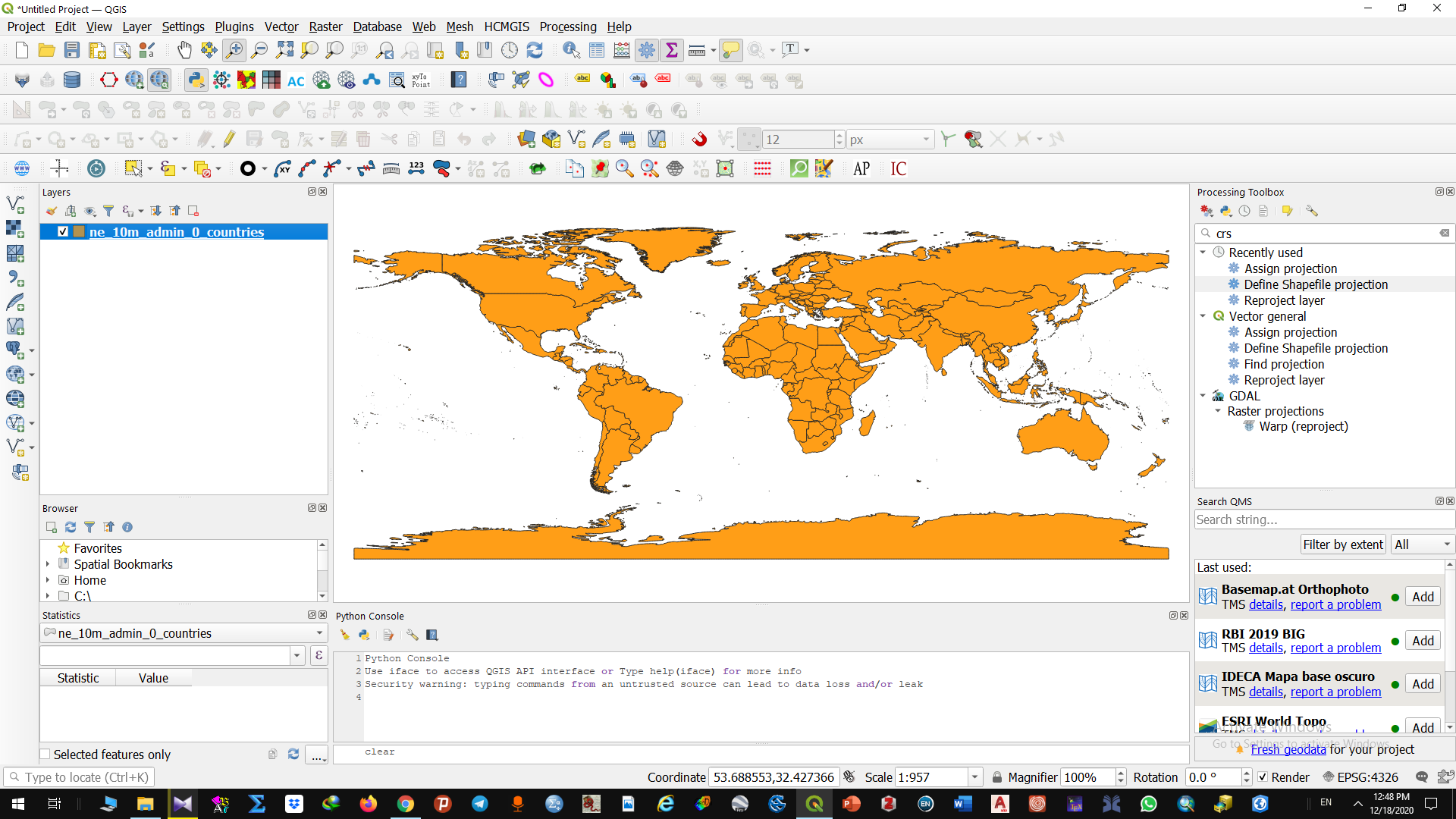
because the coordinate system for the project is:

set in the bottom right control.
Now I do "Settings, Custom Projections" and add yours:

And I click the "Validate" button and its all good. Back to the map and nothing has changed.
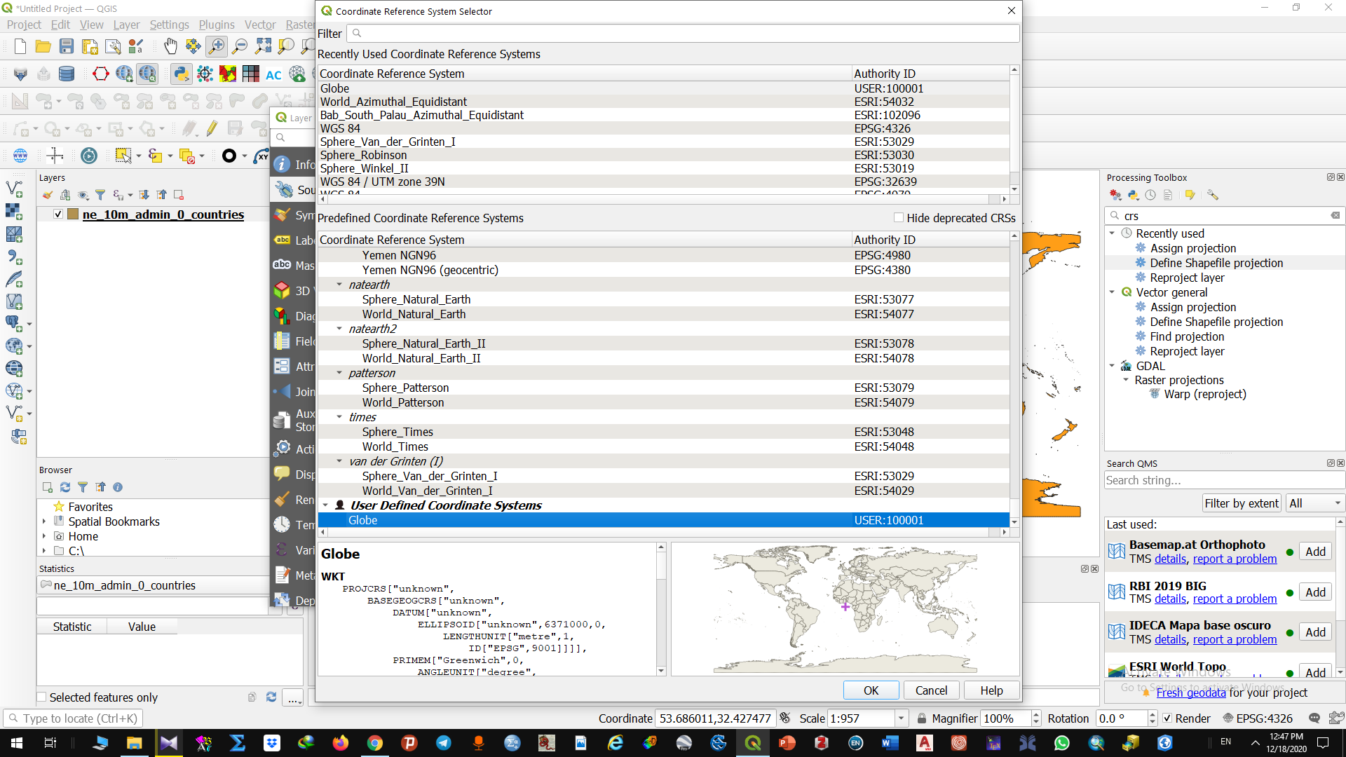
Click on the "EPSG:4326" button at bottom right and find that new coordinate system in the "Predefined Coordinate Reference System" list:

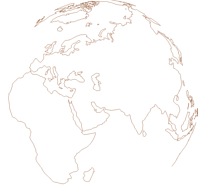
you can see it as "SO Question" and it has a code of "USER:100043" - your code will be different. Select that, select "Apply" and return to the map and:

an earth sphere view. (Note I've done coastlines here not polygons). The project coordinate reference bottom right now shows:

that I am using that custom projection. I can switch this back to epsg:4326 if I want to get back to that projection in my map.


