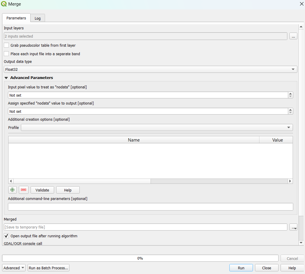
I have two raster files and I want to merge them in QGIS. The first raster has values between 0 to 8627 and the second one has 0 to 9118. However, when I do it with the Merge tool (in GDAL/raster miscellaneous) new raster's values are between 0 to 9,260. Somehow, it is rescaled or some raster values are combined. When I checked the map, only one raster is rescaled but the other one stayed as original.
-
I dont change any parameters actually. I have added an image to the question about parameters.– GencergisCommented Jul 2, 2023 at 8:57
-
1If you are just looking at the min/max values in layer legends in the QGIS Layers tab, your original max values (8627 and 9118) are likely estimated, not actual max.– user2856Commented Jul 2, 2023 at 9:03
-
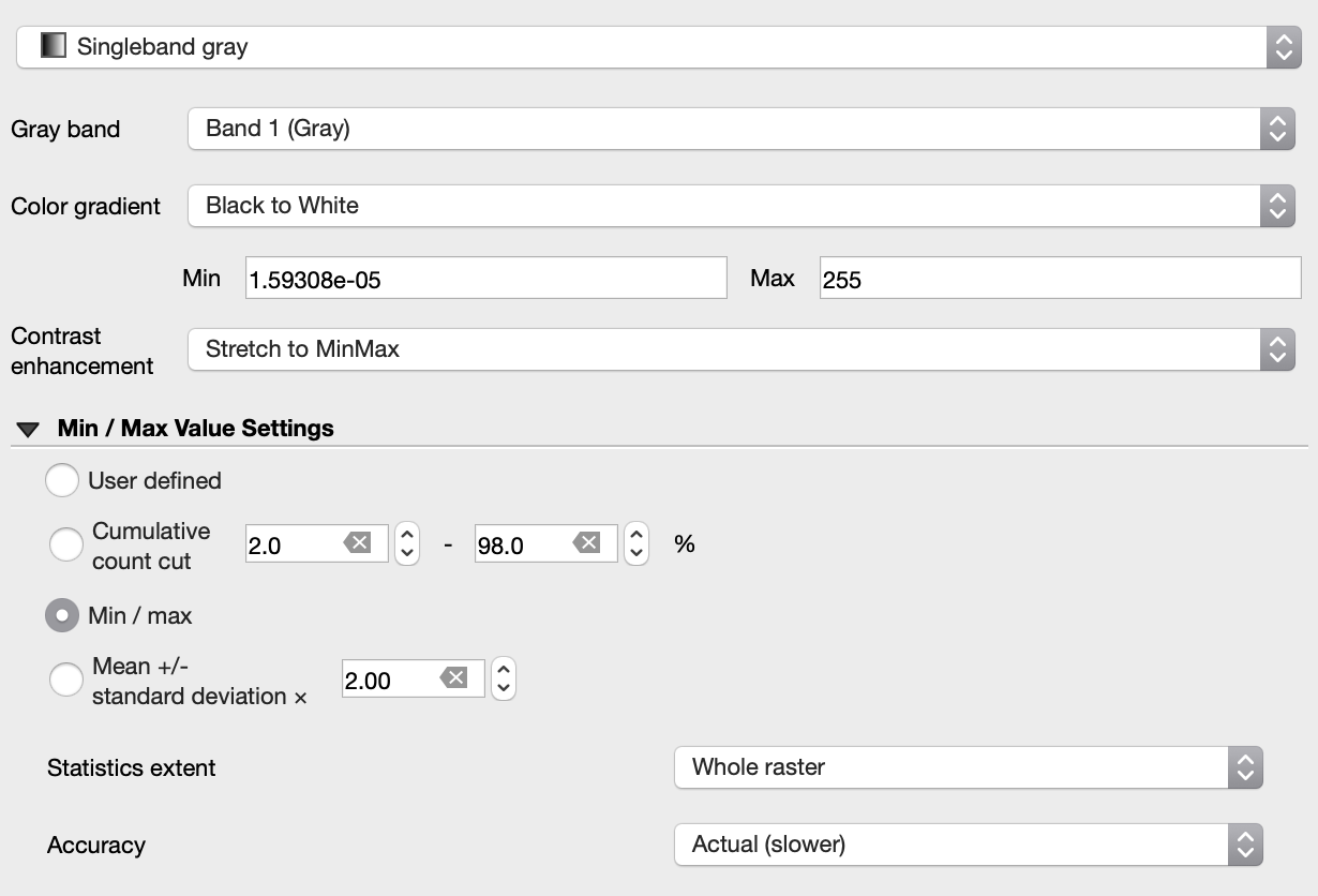
Oh yes, I change them via Symbology>Min Max Values Settings>Accuracy>Actual(slower) So there was no problem, just the max min values were poorly estimated.– GencergisCommented Jul 2, 2023 at 9:10
Add a comment
|
1 Answer
By default, QGIS shows estimated min and max values in the layer legend (faster). To see the actual values, in the raster layer properties, symbology tab, change "Accuracy" from "Estimate (faster)" to "Actual (slower)".


