Given the following format options:
all.json, all.xml, all.xls, all.csv, all.kml, all.gjson
Which one is the best/easiest to convert the data into standard ERSI Shapefiles which contains the coordinates as well as the data attributes for each feature?
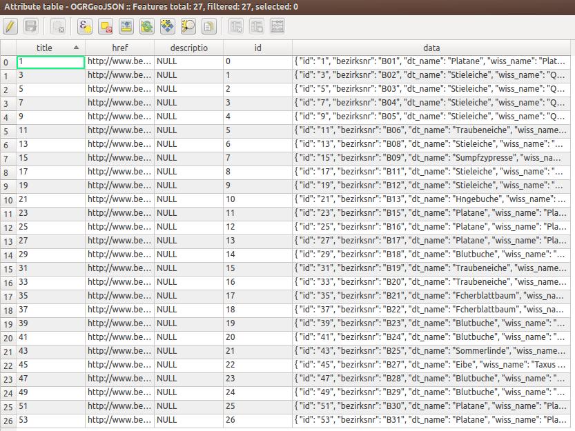
I tried importing KML and JSON via QGIS but the data attributes are squashed into a single column (see screenshot). Conversion via ogr2ogr was successful neither - it spits out a DBF file only. Conversion via csv2shp did not work at all - I could not figure out how to run the command.

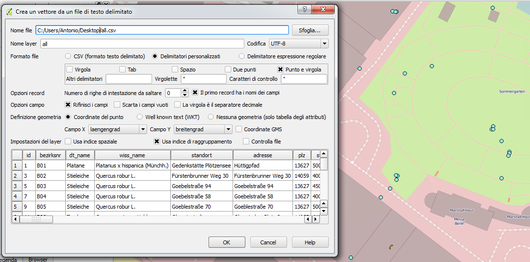
I came up with the following all.vrt as suggested by afalciano.
<OGRVRTDataSource>
    <OGRVRTLayer name="all">
        <SrcDataSource>all.csv</SrcDataSource>
        <GeometryType>wkbPoint</GeometryType>
        <LayerSRS>WGS84</LayerSRS>
        <GeometryField encoding="PointFromColumns" x="laengengrad" y="breitengrad"/>
    </OGRVRTLayer>
</OGRVRTDataSource>
All features are printed to the console running: ogrinfo -ro -al all.vrt

